Seddonville Area, Seddonville Postcode & Map in Seddonville
Seddonville Area, Seddonville Postcode & Map in Seddonville, Buller District, New Zealand
Seddonville, Buller District, New Zealand
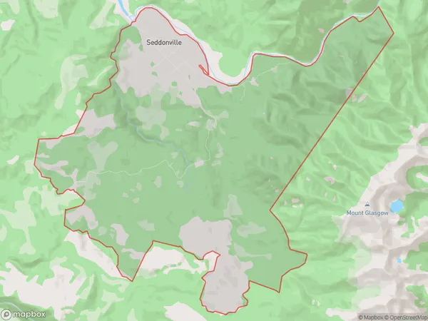
Seddonville Area (estimated)
47.8 square kilometersSeddonville Population (estimated)
61 people live in Seddonville, West Coast, NZSeddonville Suburb Area Map (Polygon)
Seddonville Introduction
Seddonville is a small West Coast town located in the Grey District of New Zealand. It is known for its scenic surroundings, including the Seddonville Forest Park and the Seddonville River. The town has a population of around 1,000 people and is a popular destination for outdoor activities such as hiking, fishing, and hunting. Seddonville is also home to a number of historic buildings, including the Seddonville Hotel and the Seddonville Hall.Region
Major City
Suburb Name
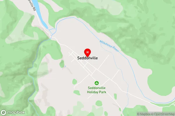
SeddonvilleSeddonville Area Map (Street)
Local Authority
Buller DistrictFull Address
Seddonville, Buller District, New ZealandAddress Type
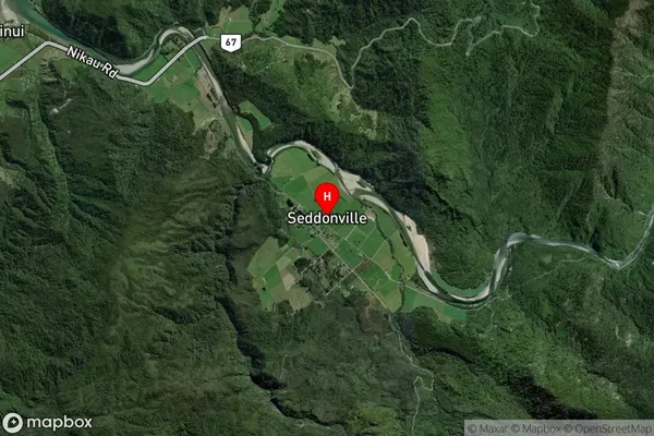
Locality in Town WestportSeddonville Suburb Map (Satellite)
Country
Main Region in AU
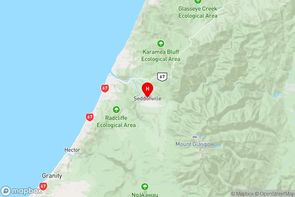
West CoastSeddonville Region Map
Coordinates
-41.5497786,171.9884874 (latitude/longitude)Distances
The distance from Seddonville, Westport, Buller District to NZ Top 10 Cities