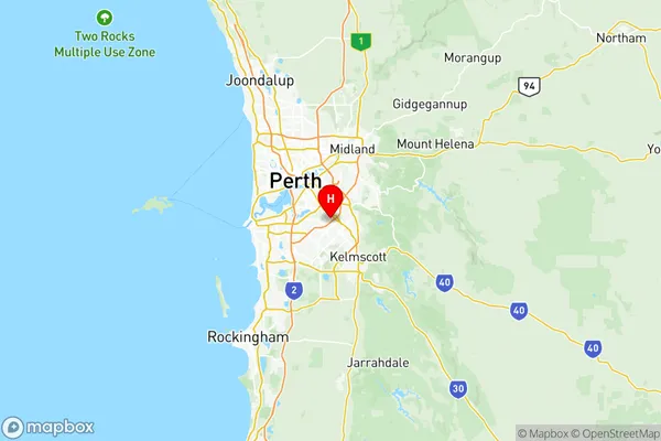
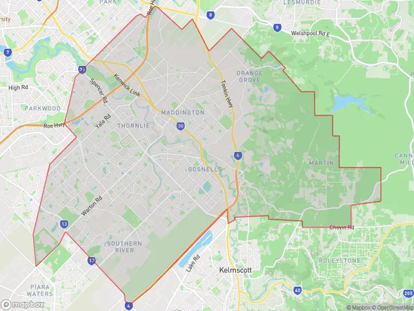
Gosnells Suburbs & Region, Gosnells Map & Postcodes
Gosnells Suburbs & Region, Gosnells Map & Postcodes in Gosnells, Perth South East, WA, AU
Gosnells Region
Region Name
Gosnells (WA, AU)Gosnells Area
127.3 square kilometers (127.3 ㎢)Postal Codes
from 6108 to 6110, 6112, 6147, from 6988 to 6990, and 6992 (In total, there are 9 postcodes in Gosnells.)Gosnells Introduction
Gosnells is a suburb of Perth, the capital city of Western Australia, located 12 kilometers southeast of Perth's central business district (CBD). It is part of the City of Gosnells and is named after John Gosnell, who was the first landowner in the area. Gosnells is a diverse suburb with a mix of residential, commercial, and industrial areas. It is home to several major shopping centers, including the Gosnells Central Shopping Centre and the Westfield Gosnells Shopping Centre. The suburb also has a number of parks and recreational facilities, including the John Tonkin Reserve, the Gosnells Sporting Complex, and the Gosnells Golf Club. Gosnells is well-connected to the rest of Perth via public transport, with several bus routes and the Gosnells Train Station located within the suburb. The suburb has a population of approximately 20,000 people and is growing rapidly.Australia State
City or Big Region
District or Regional Area
Gosnells Region Map

Gosnells Postcodes / Zip Codes
Gosnells Suburbs
Armadale Wungong Brookdale
Forrestdale Harrisdale Piara Waters
Mount Nasura Mount Richon Bedfordale
Beckenham Kenwick Langford
Huntingdale Southern River
Maddington Orange Grove Martin
Gosnells full address
Gosnells, Perth South East, Western Australia, WA, Australia, SaCode: 50604Country
Gosnells, Perth South East, Western Australia, WA, Australia, SaCode: 50604
Gosnells Suburbs & Region, Gosnells Map & Postcodes has 9 areas or regions above, and there are 26 Gosnells suburbs below. The sa3code for the Gosnells region is 50604. Its latitude and longitude coordinates are -32.0398,115.948.
Gosnells Suburbs & Localities
1. Thornlie
2. Maddington
3. Orange Grove
6. Hilbert
7. Wungong
8. Lynwood
9. Parkwood
10. Armadale
11. Forrestdale
12. Harrisdale
13. Piara Waters
14. Seville Grove
15. Gosnells
16. Huntingdale
17. Southern River
18. Bedfordale
19. Brookdale
20. Mount Nasura
21. Mount Richon
22. Langford
23. Maddington
24. Gosnells
25. Thornlie
26. Armadale
