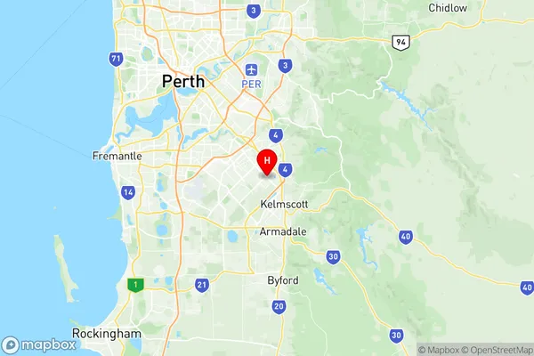
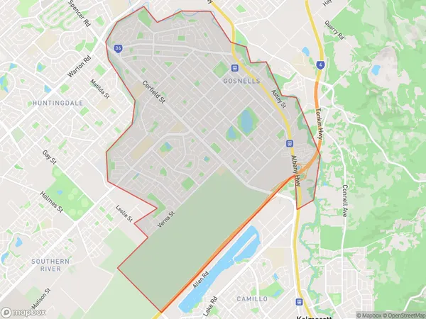
Gosnells Suburbs & Region, Gosnells Map & Postcodes
Gosnells Suburbs & Region, Gosnells Map & Postcodes in Gosnells, Perth South East, WA, AU
Gosnells Region
Region Name
Gosnells (WA, AU)Gosnells Area
15.51 square kilometers (15.51 ㎢)Postal Codes
6110, and 6990 (In total, there are 2 postcodes in Gosnells.)Gosnells Introduction
Gosnells is a suburb of Perth, the capital city of Western Australia, and is located in the City of Gosnells. It is situated approximately 12 kilometers southeast of Perth's central business district (CBD) and is part of the wider Perth metropolitan area. Gosnells is known for its diverse population and vibrant community. The suburb has a mix of residential, commercial, and industrial areas, with several major shopping centers, parks, and recreational facilities. It is also home to several educational institutions, including Gosnells Primary School and Gosnells College. Gosnells is well-connected to the rest of Perth via public transportation, with several bus routes and the Gosnells Train Station located within the suburb. The suburb has a rich history and was originally settled by European immigrants in the late 19th century. It was named after the Gosnells River, which flows through the area and provides water for agriculture and irrigation. Today, Gosnells is a thriving and growing suburb with a strong sense of community and a commitment to sustainability.Australia State
City or Big Region
Greater Capital City
Greater Perth (5GPER)District or Regional Area
Suburb Name
Gosnells Region Map

Gosnells Postcodes / Zip Codes
Gosnells Suburbs
Gosnells full address
Gosnells, Perth South East, Western Australia, WA, Australia, SaCode: 506041134Country
Gosnells, Perth South East, Western Australia, WA, Australia, SaCode: 506041134
Gosnells Suburbs & Region, Gosnells Map & Postcodes has 0 areas or regions above, and there are 2 Gosnells suburbs below. The sa2code for the Gosnells region is 506041134. Its latitude and longitude coordinates are -32.0823,115.99. Gosnells area belongs to Australia's greater capital city Greater Perth.
Gosnells Suburbs & Localities
1. Gosnells
2. Gosnells
