Thornlie Suburbs & Region, Thornlie Map & Postcodes
Thornlie Suburbs & Region, Thornlie Map & Postcodes in Thornlie, Gosnells, Perth South East, WA, AU
Thornlie Region
Region Name
Thornlie (WA, AU)Thornlie Area
11.59 square kilometers (11.59 ㎢)Postal Codes
6108, and 6988 (In total, there are 2 postcodes in Thornlie.)Thornlie Introduction
Thornlie is a suburb of Perth, the capital city of Western Australia, located 10 kilometers southeast of the Perth central business district (CBD). It is part of the City of Stirling and is named after the Thornlie River, which flows through the suburb. Thornlie has a diverse population and is known for its well-maintained parks, shopping centers, and residential areas. It is also home to several major businesses, including the BHP Billiton Iron Ore Mine and the Westfield Carousel Shopping Center. The suburb has a number of public transport options, including buses and trains, and is within easy reach of the Perth CBD and the coastal beaches.Australia State
City or Big Region
Greater Capital City
Greater Perth (5GPER)District or Regional Area
Suburb Name
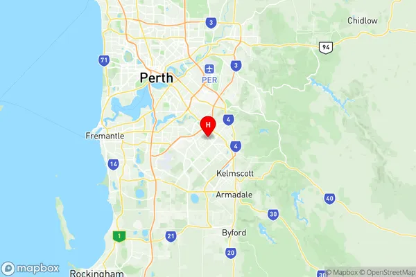
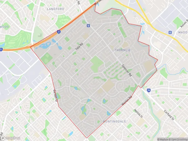
Thornlie Region Map

Thornlie Postcodes / Zip Codes
Thornlie Suburbs
Thornlie full address
Thornlie, Gosnells, Perth South East, Western Australia, WA, Australia, SaCode: 506041137Country
Thornlie, Gosnells, Perth South East, Western Australia, WA, Australia, SaCode: 506041137
Thornlie Suburbs & Region, Thornlie Map & Postcodes has 0 areas or regions above, and there are 2 Thornlie suburbs below. The sa2code for the Thornlie region is 506041137. Its latitude and longitude coordinates are -32.0579,115.963. Thornlie area belongs to Australia's greater capital city Greater Perth.
Thornlie Suburbs & Localities
1. Thornlie
2. Thornlie
