Wungong Area, Wungong Postcode(6112) & Map in Wungong, Perth - South East, WA
Wungong Area, Wungong Postcode(6112) & Map in Wungong, Perth - South East, WA, AU, Postcode: 6112
Wungong, Armadale - Wungong - Brookdale, Armadale, Perth - South East, Western Australia, Australia, 6112
Wungong Postcode
Area Name
WungongWungong Suburb Area Map (Polygon)

Wungong Introduction
Wungong is a suburb of Perth, Western Australia, located 25 kilometers southeast of the city center. It is known for its natural beauty, including the Wungong Regional Park and the Wungong Brook. The suburb has a population of approximately 10,000 people and is home to a variety of businesses, including a shopping center and a hospital.State Name
City or Big Region
District or Regional Area
Suburb Name
Wungong Region Map
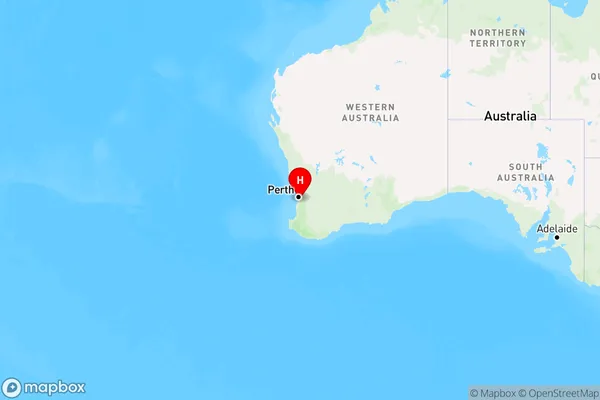
Country
Main Region in AU
R2Coordinates
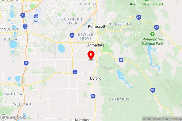
-32.1819203,116.0039586 (latitude/longitude)Wungong Area Map (Street)
Longitude
115.997934Latitude
-32.158675Wungong Elevation
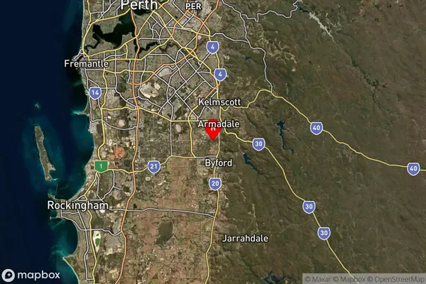
about 39.11 meters height above sea level (Altitude)Wungong Suburb Map (Satellite)
Distances
The distance from Wungong, Perth - South East, WA to AU Greater Capital CitiesSA1 Code 2011
50601111007SA1 Code 2016
50601111007SA2 Code
506011110SA3 Code
50601SA4 Code
506RA 2011
1RA 2016
1MMM 2015
1MMM 2019
1Charge Zone
W1LGA Region
GosnellsLGA Code
53780Electorate
Canning