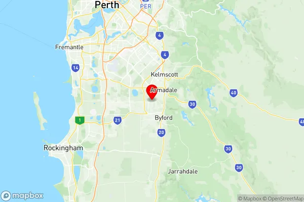
Armadale Wungong Brookdale Suburbs & Region, Armadale Wungong Brookdale Map & Postcodes
Armadale Wungong Brookdale Suburbs & Region, Armadale Wungong Brookdale Map & Postcodes in Armadale Wungong Brookdale, Gosnells, Perth South East, WA, AU
Armadale Wungong Brookdale Region
Region Name
Armadale Wungong Brookdale (WA, AU)Armadale Wungong Brookdale Area
25.39 square kilometers (25.39 ㎢)Postal Codes
6112, and 6992 (In total, there are 2 postcodes in Armadale Wungong Brookdale.)Armadale Wungong Brookdale Introduction
Armadale Wungong Brookdale is a suburb in Perth, the capital city of Western Australia, located 16 kilometers southeast of Perth's central business district (CBD). It is part of the City of Armadale and is named after the Wungong Brook, which flows through the suburb. The suburb is known for its natural beauty, with many parks and reserves, including the Wungong National Park and the Armadale Nature Reserve. It is also home to several shopping centers, including the Armadale Shopping Centre and the Brookdale Shopping Centre. The suburb has a population of approximately 18,000 people and is a popular residential area for families and young professionals.Australia State
City or Big Region
Greater Capital City
Greater Perth (5GPER)District or Regional Area
Suburb Name
Armadale Wungong Brookdale Region Map

Armadale Wungong Brookdale Postcodes / Zip Codes
Armadale Wungong Brookdale Suburbs
Armadale Wungong Brookdale full address
Armadale Wungong Brookdale, Gosnells, Perth South East, Western Australia, WA, Australia, SaCode: 506011110Country
Armadale Wungong Brookdale, Gosnells, Perth South East, Western Australia, WA, Australia, SaCode: 506011110
Armadale Wungong Brookdale Suburbs & Region, Armadale Wungong Brookdale Map & Postcodes has 0 areas or regions above, and there are 6 Armadale Wungong Brookdale suburbs below. The sa2code for the Armadale Wungong Brookdale region is 506011110. Its latitude and longitude coordinates are -32.1776,115.983. Armadale Wungong Brookdale area belongs to Australia's greater capital city Greater Perth.
Armadale Wungong Brookdale Suburbs & Localities
2. Hilbert
3. Wungong
4. Armadale
5. Brookdale
6. Armadale
