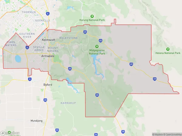
Armadale Suburbs & Region, Armadale Map & Postcodes
Armadale Suburbs & Region, Armadale Map & Postcodes in Armadale, Perth South East, WA, AU
Armadale Region
Region Name
Armadale (WA, AU)Armadale Area
559.53 square kilometers (559.53 ㎢)Armadale Introduction
Armadale is a suburb of Perth, the capital city of Western Australia, located 10 kilometers southeast of Perth's central business district (CBD). It is part of the City of Armadale and is known for its lush gardens, tree-lined streets, and well-maintained homes. The suburb has a diverse population and is home to a number of cultural and recreational facilities, including the Armadale Shopping Centre, the Armadale Sports Complex, and the Armadale Library. It is also home to a number of schools, including Armadale Primary School, Armadale Secondary College, and St Mary's Anglican Girls' School.Australia State
City or Big Region
Greater Capital City
Greater Perth (5GPER)District or Regional Area
Armadale Suburbs
Piara Waters Forrestdale
Armadale full address
Armadale, Perth South East, Western Australia, WA, Australia, SaCode: 50601Country
Armadale, Perth South East, Western Australia, WA, Australia, SaCode: 50601
Armadale Suburbs & Region, Armadale Map & Postcodes has 2 areas or regions above, and there are 0 Armadale suburbs below. The sa3code for the Armadale region is 50601. Armadale area belongs to Australia's greater capital city Greater Perth.
