St Arnaud Suburbs & Region, St Arnaud Map & Postcodes
St Arnaud Suburbs & Region, St Arnaud Map & Postcodes in St Arnaud, Murray River Swan Hill, North West, VIC, AU
St Arnaud Region
Region Name
St Arnaud (VIC, AU)St Arnaud Area
3009 square kilometers (3,009 ㎢)St Arnaud Suburb Area Map (Polygon)

St Arnaud Introduction
St Arnaud is a small township in north-west Victoria, Australia. It is located in the Shire of Buloke, 365 km north-west of Melbourne, and 22 km south-east of the town of Donald. The town is named after the St Arnaud River, which flows through it. The population of St Arnaud was {SSN} at the 2016 census. The town has a primary school, a post office, a general store, and a hotel. The surrounding area is known for its agriculture, with wheat, sheep, and cattle being the main crops. The town also has a number of tourist attractions, including the St Arnaud Waterfalls, the Mount Jeffcott Conservation Reserve, and the Pyrenees Mountain Range.Australia State
City or Big Region
Greater Capital City
Rest of Vic. (2RVIC)District or Regional Area
Suburb Name
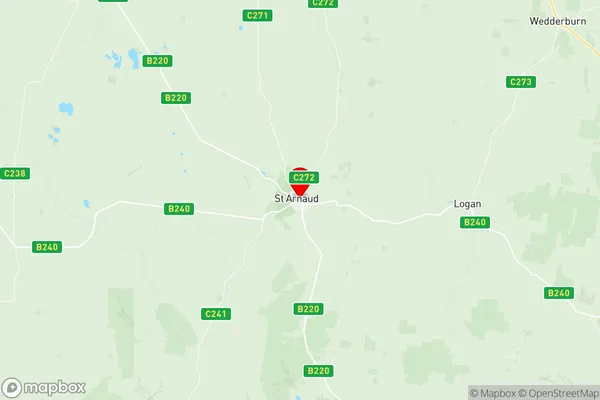
St Arnaud Region Map
St Arnaud Suburbs
St Arnaud full address
St Arnaud, Murray River Swan Hill, North West, Victoria, VIC, Australia, SaCode: 215011391Country
St Arnaud, Murray River Swan Hill, North West, Victoria, VIC, Australia, SaCode: 215011391
St Arnaud Suburbs & Region, St Arnaud Map & Postcodes has 0 areas or regions above, and there are 0 St Arnaud suburbs below. The sa2code for the St Arnaud region is 215011391. Its latitude and longitude coordinates are -36.6166,143.26. St Arnaud area belongs to Australia's greater capital city Rest of Vic..