Emu Area, Emu Postcode(3475) & Map in Emu, North West, VIC
Emu Area, Emu Postcode(3475) & Map in Emu, North West, VIC, AU, Postcode: 3475
Emu, St Arnaud, Grampians, North West, Victoria, Australia, 3475
Emu Postcode
Area Name
EmuEmu Suburb Area Map (Polygon)

Emu Introduction
Emu is a small township in the North West region of Victoria, Australia. It is located in the Shire of Buloke, approximately 25 kilometers north-west of the state capital, Melbourne. The township is named after the emu, a native bird that is found in the area. Emu is a popular tourist destination, with visitors coming to see the emus that roam free in the local area. The township also has a historic hotel, a general store, and a post office.State Name
City or Big Region
District or Regional Area
Suburb Name
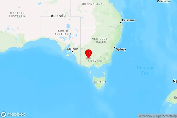
Emu Region Map

Country
Main Region in AU
R3Coordinates
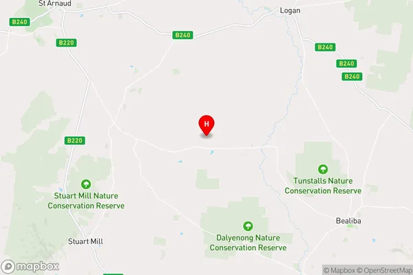
-36.722585,143.406515 (latitude/longitude)Emu Area Map (Street)

Longitude
143.51213Latitude
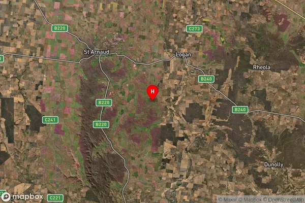
-36.70633Emu Suburb Map (Satellite)

Distances
The distance from Emu, North West, VIC to AU Greater Capital CitiesSA1 Code 2011
21501139107SA1 Code 2016
21501139107SA2 Code
215011391SA3 Code
21501SA4 Code
215RA 2011
3RA 2016
3MMM 2015
5MMM 2019
5Charge Zone
V2LGA Region
Central GoldfieldsLGA Code
21670Electorate
Mallee