Mitchells Hill Area, Mitchells Hill Postcode(3478) & Map in Mitchells Hill, North West, VIC
Mitchells Hill Area, Mitchells Hill Postcode(3478) & Map in Mitchells Hill, North West, VIC, AU, Postcode: 3478
Mitchells Hill, St Arnaud, Grampians, North West, Victoria, Australia, 3478
Mitchells Hill Postcode
Area Name
Mitchells HillMitchells Hill Suburb Area Map (Polygon)

Mitchells Hill Introduction
Mitchells Hill is a suburb in the City of Whittlesea, Victoria, Australia. It is located in the northern region of the city, bordered by the Plenty River to the north, Epping Forest to the east, and the Western Ring Road to the south. The suburb is named after John Mitchell, who was a pioneer settler in the area. It is a popular residential area with a mix of houses, apartments, and townhouses. It has a variety of shops, cafes, and restaurants, as well as a community center and a primary school. Mitchells Hill is also home to a number of parks and recreational facilities, including a golf course and a tennis club.State Name
City or Big Region
District or Regional Area
Suburb Name
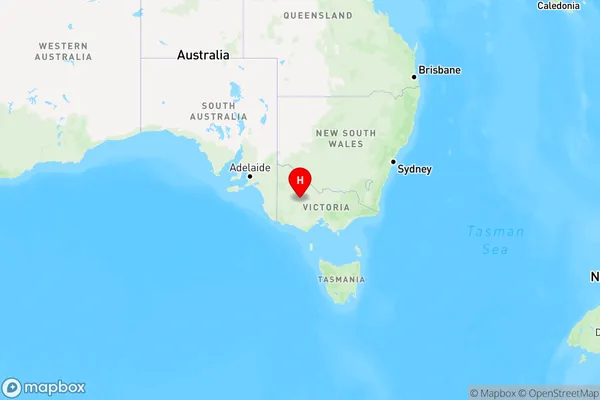
Mitchells Hill Region Map

Country
Main Region in AU
R3Coordinates
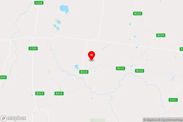
-36.61,143 (latitude/longitude)Mitchells Hill Area Map (Street)

Longitude
143.230699Latitude
-36.688551Mitchells Hill Elevation
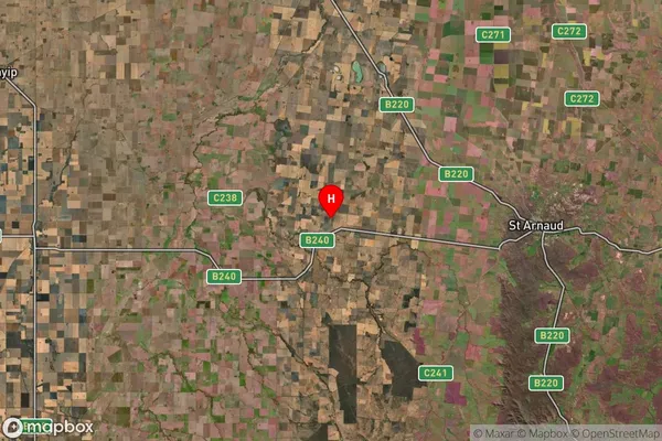
about 301.30 meters height above sea level (Altitude)Mitchells Hill Suburb Map (Satellite)

Distances
The distance from Mitchells Hill, North West, VIC to AU Greater Capital CitiesSA1 Code 2011
21501139106SA1 Code 2016
21501139106SA2 Code
215011391SA3 Code
21501SA4 Code
215RA 2011
3RA 2016
3MMM 2015
5MMM 2019
5Charge Zone
V2LGA Region
Northern GrampiansLGA Code
25810Electorate
Mallee