Gowar East Area, Gowar East Postcode(3477) & Map in Gowar East, North West, VIC
Gowar East Area, Gowar East Postcode(3477) & Map in Gowar East, North West, VIC, AU, Postcode: 3477
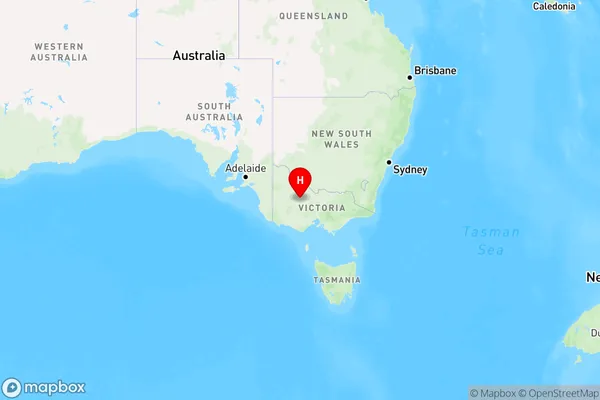
Gowar East, St Arnaud, Grampians, North West, Victoria, Australia, 3477
Gowar East Postcode
Area Name
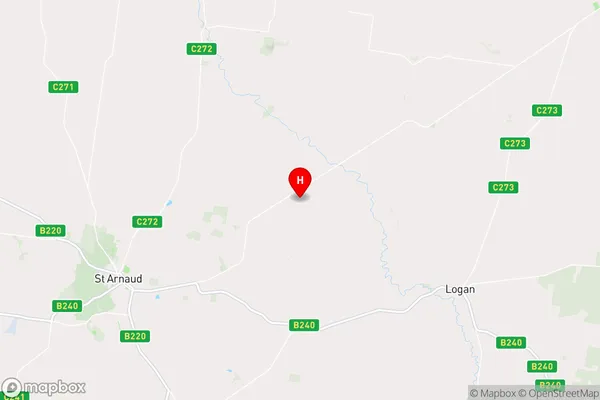
Gowar EastGowar East Suburb Area Map (Polygon)

Gowar East Introduction
Gowar East is a locality in the local government area of the Shire of Buloke, Victoria, Australia. It is located 122 km north-west of Melbourne, the state capital. The post office opened as Gowar East on 1 July 1924 and was closed on 29 November 1976.State Name
City or Big Region
District or Regional Area
Suburb Name
Gowar East Region Map
Country
Main Region in AU
R3Coordinates
-36.5716,143.38 (latitude/longitude)Gowar East Area Map (Street)
Longitude
143.230699Latitude
-36.688551Gowar East Elevation
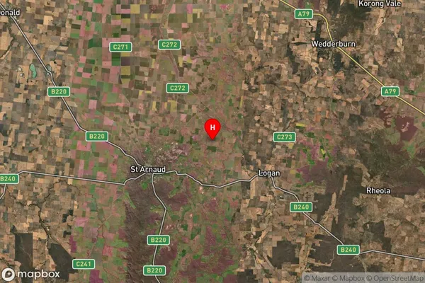
about 301.30 meters height above sea level (Altitude)Gowar East Suburb Map (Satellite)
Distances
The distance from Gowar East, North West, VIC to AU Greater Capital CitiesSA1 Code 2011
21501139110SA1 Code 2016
21501139110SA2 Code
215011391SA3 Code
21501SA4 Code
215RA 2011
3RA 2016
3MMM 2015
5MMM 2019
5Charge Zone
V2LGA Region
Northern GrampiansLGA Code
25810Electorate
Mallee