St Marys Suburbs & Region, St Marys Map & Postcodes
St Marys Suburbs & Region, St Marys Map & Postcodes in St Marys, Sydney Outer West and Blue Mountains, NSW, AU
St Marys Region
Region Name
St Marys (NSW, AU)St Marys Area
33.11 square kilometers (33.11 ㎢)Postal Codes
1790, 2748, 2759, and 2760 (In total, there are 4 postcodes in St Marys.)St Marys Introduction
St Marys is a suburb in the local government area of the City of Blue Mountains, New South Wales, Australia. It is located 65 kilometres west of Sydney's central business district and is part of the Greater Western Sydney region. The suburb is named after St Mary of the Angels, a Catholic church that was built in 1888. St Marys is a popular residential area with a mix of detached houses, townhouses, and apartments. The suburb has a variety of shops, cafes, and restaurants, as well as a community centre and a library. The area is known for its scenic parks and gardens, including the Blue Mountains National Park, which is a World Heritage Site. The suburb is well-connected to public transport, with bus services to Sydney and the surrounding areas. It is also home to the St Marys railway station, which is on the Main Western line. The suburb is surrounded by beautiful natural scenery, including the Blue Mountains and the Hawkesbury River.Australia State
City or Big Region
District or Regional Area
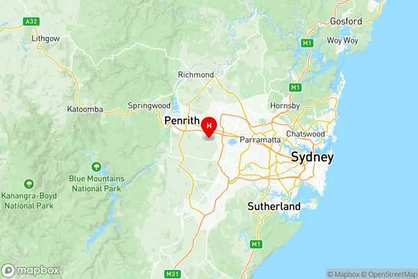
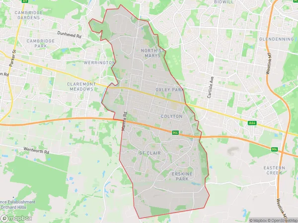
St Marys Region Map

St Marys Postcodes / Zip Codes
St Marys Suburbs
Mulgoa Luddenham Orchard Hills
St Marys North St Marys
St Marys full address
St Marys, Sydney Outer West and Blue Mountains, New South Wales, NSW, Australia, SaCode: 12405Country
St Marys, Sydney Outer West and Blue Mountains, New South Wales, NSW, Australia, SaCode: 12405
St Marys Suburbs & Region, St Marys Map & Postcodes has 5 areas or regions above, and there are 11 St Marys suburbs below. The sa3code for the St Marys region is 12405. Its latitude and longitude coordinates are -33.8132,150.801.
St Marys Suburbs & Localities
1. St Marys
2. Orchard Hills
3. North St Marys
4. Oxley Park
5. St Marys East
6. St Clair
7. Erskine Park
8. Colyton
9. Ropes Crossing
10. St Marys
11. St Marys South
