Oxley Park Area, Oxley Park Postcode(2760) & Map in Oxley Park, Sydney - Outer West and Blue Mountains, NSW
Oxley Park Area, Oxley Park Postcode(2760) & Map in Oxley Park, Sydney - Outer West and Blue Mountains, NSW, AU, Postcode: 2760
Oxley Park, Colyton - Oxley Park, St Marys, Sydney - Outer West and Blue Mountains, New South Wales, Australia, 2760
Oxley Park Postcode
Area Name
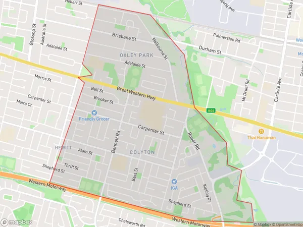
Oxley ParkOxley Park Suburb Area Map (Polygon)
Oxley Park Introduction
Oxley Park is a large industrial suburb in Sydney's outer west, located 20 kilometres from the city centre. It is known for its large industrial area and heavy traffic. The suburb has a diverse population and is home to many different cultural and religious groups. There are several parks and recreational facilities in Oxley Park, including a golf course, cricket oval, and tennis courts. The area is also home to several major companies, including Boeing and Westfield.State Name
City or Big Region
District or Regional Area
Suburb Name
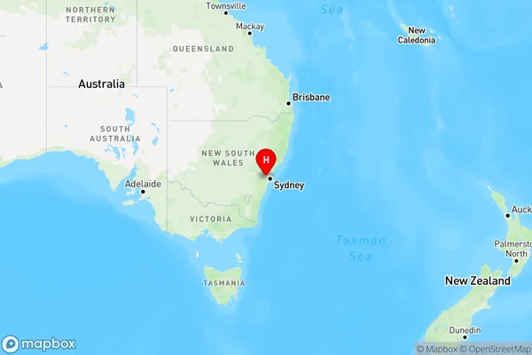
Oxley Park Region Map
Country
Main Region in AU
R1Coordinates
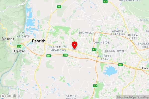
-33.7709,150.7934 (latitude/longitude)Oxley Park Area Map (Street)
Longitude
150.780073Latitude
-33.763976Oxley Park Elevation
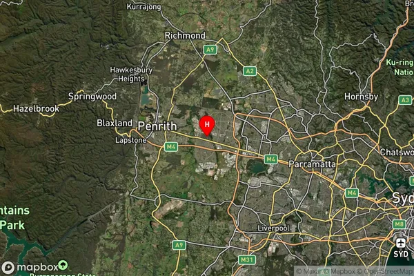
about 52.00 meters height above sea level (Altitude)Oxley Park Suburb Map (Satellite)
Distances
The distance from Oxley Park, Sydney - Outer West and Blue Mountains, NSW to AU Greater Capital CitiesSA1 Code 2011
12405147147SA1 Code 2016
12405158004SA2 Code
124051580SA3 Code
12405SA4 Code
124RA 2011
1RA 2016
1MMM 2015
1MMM 2019
1Charge Zone
N1LGA Region
PenrithLGA Code
16350Electorate
Lindsay