North St Marys Area, North St Marys Postcode(2760) & Map in North St Marys, Sydney - Outer West and Blue Mountains, NSW
North St Marys Area, North St Marys Postcode(2760) & Map in North St Marys, Sydney - Outer West and Blue Mountains, NSW, AU, Postcode: 2760
North St Marys, St Marys - North St Marys, St Marys, Sydney - Outer West and Blue Mountains, New South Wales, Australia, 2760
North St Marys Postcode
Area Name
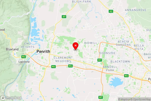
North St MarysNorth St Marys Suburb Area Map (Polygon)

North St Marys Introduction
North St Marys is a suburb in the City of Blacktown of New South Wales, Australia. It is located 33 kilometres west of Sydney's central business district and is part of the Greater Western Sydney region. North St Marys is known for its historic railway station and its close proximity to the Blue Mountains National Park. It is also home to a number of industrial and commercial businesses.State Name
City or Big Region
District or Regional Area
Suburb Name
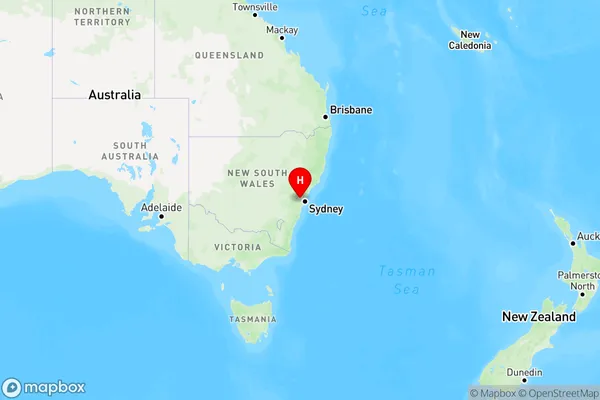
North St Marys Region Map
Country
Main Region in AU
R1Coordinates
-33.749,150.782 (latitude/longitude)North St Marys Area Map (Street)
Longitude
150.780073Latitude
-33.763976North St Marys Elevation
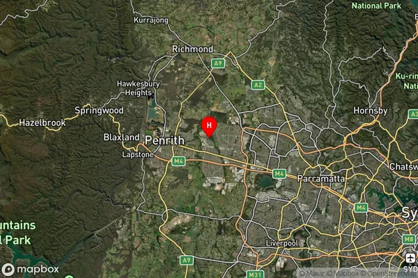
about 52.00 meters height above sea level (Altitude)North St Marys Suburb Map (Satellite)
Distances
The distance from North St Marys, Sydney - Outer West and Blue Mountains, NSW to AU Greater Capital CitiesSA1 Code 2011
12405147134SA1 Code 2016
12405158128SA2 Code
124051581SA3 Code
12405SA4 Code
124RA 2011
1RA 2016
1MMM 2015
1MMM 2019
1Charge Zone
N1LGA Region
PenrithLGA Code
16350Electorate
Lindsay