St Clair Area, St Clair Postcode(2759) & Map in St Clair, Sydney - Outer West and Blue Mountains, NSW
St Clair Area, St Clair Postcode(2759) & Map in St Clair, Sydney - Outer West and Blue Mountains, NSW, AU, Postcode: 2759
St Clair, St Clair, St Marys, Sydney - Outer West and Blue Mountains, New South Wales, Australia, 2759
St Clair Postcode
Area Name
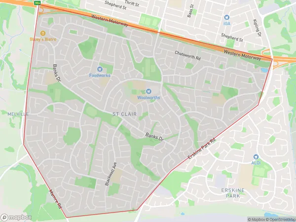
St ClairSt Clair Suburb Area Map (Polygon)
St Clair Introduction
St Clair is a suburb in the local government area of the City of Canada Bay, located in Sydney's outer west and Blue Mountains region. It is situated 37 kilometres west of the Sydney central business district. The suburb is named after Sir Richard St Clair, who was a governor of New South Wales.State Name
City or Big Region
District or Regional Area
Suburb Name
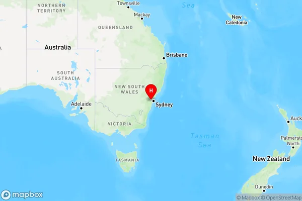
St Clair Region Map
Country
Main Region in AU
R1Coordinates
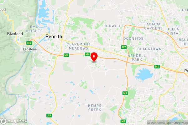
-33.7987,150.7824 (latitude/longitude)St Clair Area Map (Street)
Longitude
150.781767Latitude
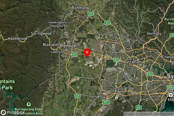
-33.82252St Clair Suburb Map (Satellite)
Distances
The distance from St Clair, Sydney - Outer West and Blue Mountains, NSW to AU Greater Capital CitiesSA1 Code 2011
12405147014SA1 Code 2016
12405147014SA2 Code
124051470SA3 Code
12405SA4 Code
124RA 2011
1RA 2016
1MMM 2015
1MMM 2019
1Charge Zone
N1LGA Region
PenrithLGA Code
16350Electorate
McMahon