Colyton Area, Colyton Postcode(2760) & Map in Colyton, Sydney - Outer West and Blue Mountains, NSW
Colyton Area, Colyton Postcode(2760) & Map in Colyton, Sydney - Outer West and Blue Mountains, NSW, AU, Postcode: 2760
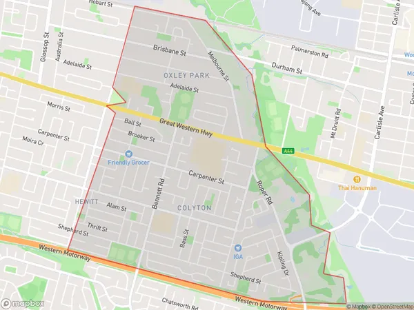
Colyton, Colyton - Oxley Park, St Marys, Sydney - Outer West and Blue Mountains, New South Wales, Australia, 2760
Colyton Postcode
Area Name
ColytonColyton Suburb Area Map (Polygon)
Colyton Introduction
Colyton is a suburb in the city of Campbelltown, located in the state of New South Wales, Australia. It is situated in the Macarthur region and is approximately 37 kilometers southwest of Sydney's central business district. The suburb is named after the Colyton Ironworks, which were established in the area in the 1880s. Colyton is known for its historic ironworks and its beautiful parklands, including the Colyton Showground and the John Edmondson Reserve.State Name
City or Big Region
District or Regional Area
Suburb Name
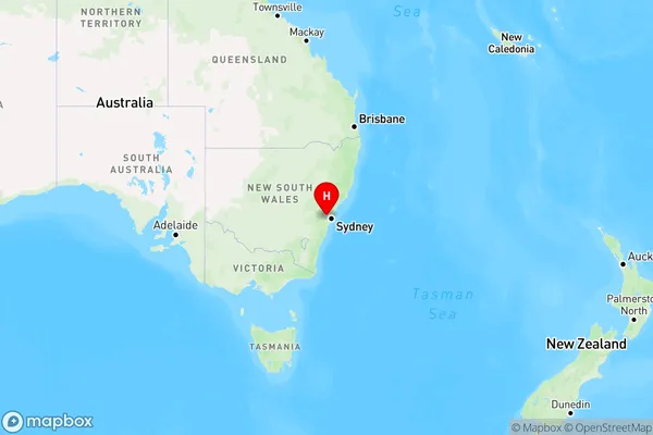
Colyton Region Map
Country
Main Region in AU
R1Coordinates
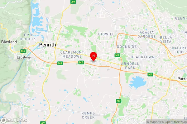
-33.7830958,150.7954903 (latitude/longitude)Colyton Area Map (Street)
Longitude
150.780073Latitude
-33.763976Colyton Elevation
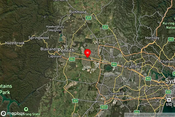
about 52.00 meters height above sea level (Altitude)Colyton Suburb Map (Satellite)
Distances
The distance from Colyton, Sydney - Outer West and Blue Mountains, NSW to AU Greater Capital CitiesSA1 Code 2011
12405147113SA1 Code 2016
12405158017SA2 Code
124051580SA3 Code
12405SA4 Code
124RA 2011
1RA 2016
1MMM 2015
1MMM 2019
1Charge Zone
N1LGA Region
PenrithLGA Code
16350Electorate
Lindsay