St Marys East Area, St Marys East Postcode(2760) & Map in St Marys East, Sydney - Outer West and Blue Mountains, NSW
St Marys East Area, St Marys East Postcode(2760) & Map in St Marys East, Sydney - Outer West and Blue Mountains, NSW, AU, Postcode: 2760
St Marys East, St Marys - North St Marys, St Marys, Sydney - Outer West and Blue Mountains, New South Wales, Australia, 2760
St Marys East Postcode
Area Name
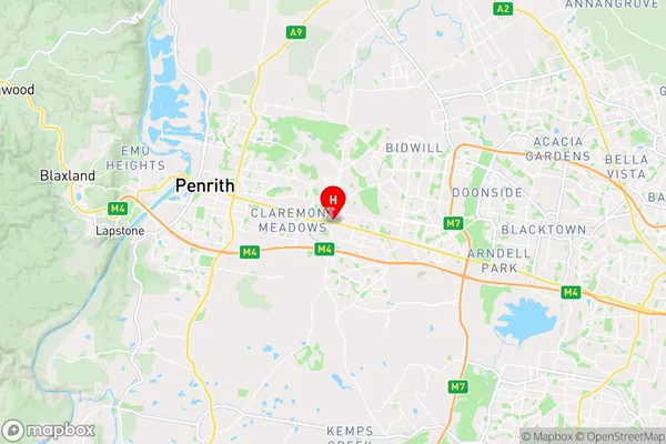
St Marys EastSt Marys East Suburb Area Map (Polygon)

St Marys East Introduction
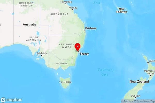
St Marys East is a suburb in the local government area of the City of Canada Bay, located in Sydney, New South Wales, Australia. It is situated 16 kilometres west of the Sydney central business district and is part of the Greater Western Sydney region. The suburb is named after St Marys Catholic Church, which was established in 1861.State Name
City or Big Region
District or Regional Area
Suburb Name
St Marys East Region Map
Country
Main Region in AU
R1Coordinates
-33.769979,150.7734575 (latitude/longitude)St Marys East Area Map (Street)
Longitude
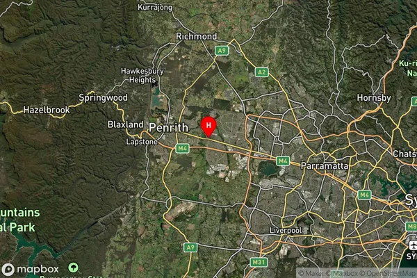
150.780073Latitude
-33.763976St Marys East Elevation
about 52.00 meters height above sea level (Altitude)St Marys East Suburb Map (Satellite)
Distances
The distance from St Marys East, Sydney - Outer West and Blue Mountains, NSW to AU Greater Capital CitiesSA1 Code 2011
12405147136SA1 Code 2016
12405158126SA2 Code
124051581SA3 Code
12405SA4 Code
124RA 2011
1RA 2016
1MMM 2015
1MMM 2019
1Charge Zone
N1LGA Region
PenrithLGA Code
16350Electorate
Lindsay