Sydney Inner West Suburbs & Region, Sydney Inner West Map & Postcodes
Sydney Inner West Suburbs & Region, Sydney Inner West Map & Postcodes in Sydney Inner West, NSW, AU
Sydney Inner West Region
Region Name
Sydney Inner West (NSW, AU)Sydney Inner West Area
64.55 square kilometers (64.55 ㎢)Postal Codes
1405, 1470, 1475, 1476, 1800, 1805, 1819, from 2038 to 2041, from 2045 to 2049, from 2129 to 2140, 2190, 2191, 2193, 2194, 2203, 2204, and 2206 (In total, there are 35 postcodes in Sydney Inner West.)Sydney Inner West Introduction
Sydney Inner West is a suburb of Sydney, New South Wales, Australia. It is located 5 kilometers west of the Sydney central business district and is part of the City of Canada Bay. The suburb is known for its diverse population and vibrant cultural scene. It is home to a number of parks, including the Royal Botanical Gardens, and is surrounded by major arterial roads such as the M4 Motorway and the Princes Highway. The area has a rich history, with many historic buildings and sites, including the Enmore Theatre and the Newtown Precinct.Australia State
City or Big Region
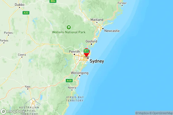
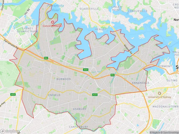
Sydney Inner West Region Map

Sydney Inner West Postcodes / Zip Codes
Sydney Inner West Suburbs
Strathfield Burwood Ashfield
Sydney Inner West full address
Sydney Inner West, New South Wales, NSW, Australia, SaCode: 120Country
Sydney Inner West, New South Wales, NSW, Australia, SaCode: 120
Sydney Inner West Suburbs & Region, Sydney Inner West Map & Postcodes has 3 areas or regions above, and there are 68 Sydney Inner West suburbs below. The sa4code for the Sydney Inner West region is 120. Its latitude and longitude coordinates are -33.8511,151.155.
Sydney Inner West Suburbs & Localities
1. Marrickville
2. Marrickville South
3. Chullora
4. Belfield
5. Campsie
6. Undercliffe
7. Breakfast Point
8. Concord West
9. Concord Repatriation Hospital
10. Ashfield
11. Petersham
12. Stanmore
13. Drummoyne
14. Rodd Point
15. Balmain
16. Annandale
17. Leichhardt
18. Rozelle
19. Burwood
20. Croydon
21. Burwood North
22. Canterbury
23. Croydon Park
24. Burwood Heights
25. Dulwich Hill
26. Haberfield
27. Summer Hill
28. Homebush
29. Sydney Markets
30. Strathfield
