Stanmore Area, Stanmore Postcode(2048) & Map in Stanmore, Sydney - City and Inner South, NSW
Stanmore Area, Stanmore Postcode(2048) & Map in Stanmore, Sydney - City and Inner South, NSW, AU, Postcode: 2048
Stanmore, Petersham - Stanmore, Marrickville - Sydenham - Petersham, Sydney - City and Inner South, New South Wales, Australia, 2048
Stanmore Postcode
Area Name
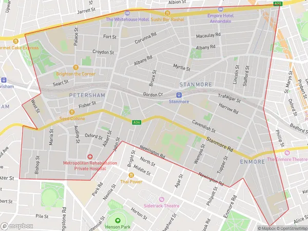
StanmoreStanmore Suburb Area Map (Polygon)

Stanmore Introduction
Stanmore is a suburb in Sydney's inner-south, 6 kilometres from the CBD. It is known for its rich cultural heritage and diverse population. The suburb has a variety of housing styles, from large detached homes to smaller apartments. Stanmore is home to several parks, including Stanmore Park and Queen Mary Park, and is surrounded by excellent transport links, including the Sydney Metro and buses.State Name
City or Big Region
District or Regional Area
Suburb Name
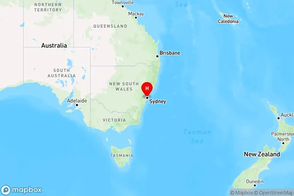
Stanmore Region Map

Country
Main Region in AU
R1Coordinates
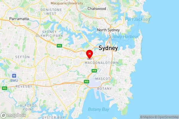
-33.8920561,151.165081 (latitude/longitude)Stanmore Area Map (Street)

Longitude
151.16564Latitude
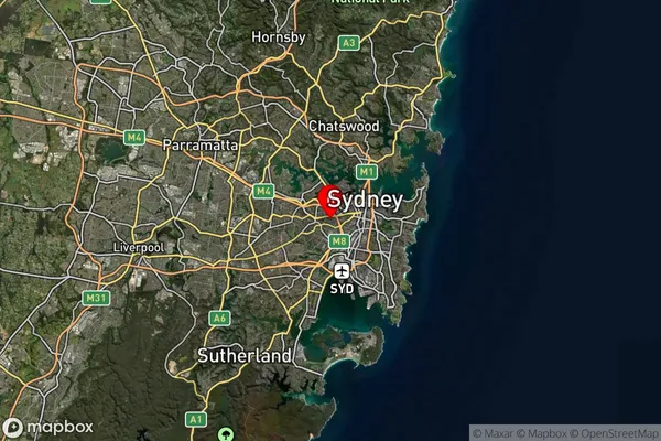
-33.89418Stanmore Suburb Map (Satellite)

Distances
The distance from Stanmore, Sydney - City and Inner South, NSW to AU Greater Capital CitiesSA1 Code 2011
11702132715SA1 Code 2016
11702132715SA2 Code
117021327SA3 Code
11702SA4 Code
117RA 2011
1RA 2016
1MMM 2015
1MMM 2019
1Charge Zone
N1LGA Region
Inner WestLGA Code
14170Electorate
Sydney