Sydney City and Inner South Suburbs & Region, Sydney City and Inner South Map & Postcodes
Sydney City and Inner South Suburbs & Region, Sydney City and Inner South Map & Postcodes in Sydney City and Inner South, NSW, AU
Sydney City and Inner South Region
Region Name
Sydney City and Inner South (NSW, AU)Sydney City and Inner South Area
66.1 square kilometers (66.1 ㎢)Sydney City and Inner South Suburb Area Map (Polygon)
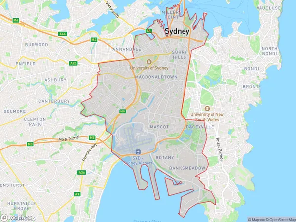
Sydney City and Inner South Introduction
Sydney City and Inner South is a suburb of Sydney, New South Wales, Australia. It is located 6 kilometers south of the Sydney central business district and is part of the City of Sydney local government area. The suburb is known for its vibrant cultural scene, with numerous galleries, museums, and theatres. It is also home to a large number of parks and recreational facilities, including the Royal Botanical Gardens and the Sydney Olympic Park. The population of Sydney City and Inner South is approximately 120,000 people.Australia State
City or Big Region
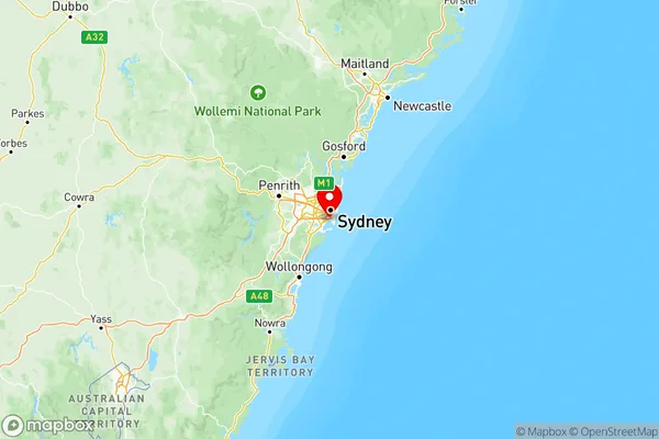
Sydney City and Inner South Region Map
Sydney City and Inner South Suburbs
Marrickville Sydenham Petersham
Sydney Inner City
Sydney City and Inner South full address
Sydney City and Inner South, New South Wales, NSW, Australia, SaCode: 117Country
Sydney City and Inner South, New South Wales, NSW, Australia, SaCode: 117
Sydney City and Inner South Suburbs & Region, Sydney City and Inner South Map & Postcodes has 3 areas or regions above, and there are 0 Sydney City and Inner South suburbs below. The sa4code for the Sydney City and Inner South region is 117. Its latitude and longitude coordinates are -33.9469,151.197.