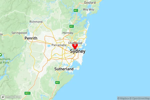
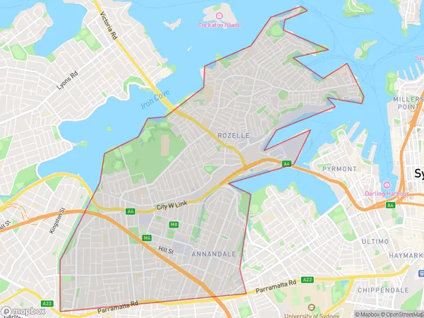
Leichhardt Suburbs & Region, Leichhardt Map & Postcodes
Leichhardt Suburbs & Region, Leichhardt Map & Postcodes in Leichhardt, Sydney Inner West, NSW, AU
Leichhardt Region
Region Name
Leichhardt (NSW, AU)Leichhardt Area
10.66 square kilometers (10.66 ㎢)Postal Codes
from 2038 to 2041, and 2048 (In total, there are 5 postcodes in Leichhardt.)Leichhardt Introduction
Leichhardt is a suburb in Sydney, New South Wales, Australia, 6 km southwest of the Sydney central business district. It is part of the Inner West Council and is named after Johann Ludwig Leichhardt, a German-born explorer and journalist. Leichhardt is known for its vibrant cultural scene, with a large Greek community and a variety of restaurants, cafes, and bars. It is also home to the Leichhardt Town Hall, a historic building that was constructed in 1889. The suburb is well-connected to the rest of Sydney, with buses and trains running regularly, and is within walking distance of the Sydney Harbour Bridge.Australia State
City or Big Region
District or Regional Area
Leichhardt Region Map

Leichhardt Postcodes / Zip Codes
Leichhardt Suburbs
Leichhardt Annandale
Lilyfield Rozelle
Leichhardt full address
Leichhardt, Sydney Inner West, New South Wales, NSW, Australia, SaCode: 12002Country
Leichhardt, Sydney Inner West, New South Wales, NSW, Australia, SaCode: 12002
Leichhardt Suburbs & Region, Leichhardt Map & Postcodes has 5 areas or regions above, and there are 9 Leichhardt suburbs below. The sa3code for the Leichhardt region is 12002. Its latitude and longitude coordinates are -33.859,151.179.
Leichhardt Suburbs & Localities
1. Balmain
2. Annandale
3. Leichhardt
4. Rozelle
5. Lilyfield
6. Balmain East
7. Birchgrove
8. Stanmore
9. Westgate
