Annandale Area, Annandale Postcode(2038) & Map in Annandale, Sydney - Inner West, NSW
Annandale Area, Annandale Postcode(2038) & Map in Annandale, Sydney - Inner West, NSW, AU, Postcode: 2038
Annandale, Leichhardt - Annandale, Leichhardt, Sydney - Inner West, New South Wales, Australia, 2038
Annandale Postcode
Area Name
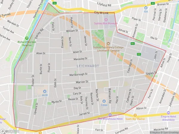
AnnandaleAnnandale Suburb Area Map (Polygon)

Annandale Introduction
Annandale is a suburb in Sydney's Inner West, known for its vibrant arts scene and alternative culture. It has a rich history and is home to many historic buildings and parks. The suburb is also popular with young professionals and families due to its convenient location and affordable housing.State Name
City or Big Region
District or Regional Area
Suburb Name
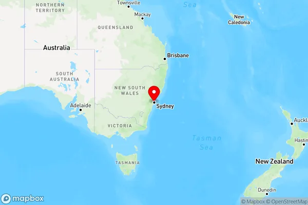
Annandale Region Map

Country
Main Region in AU
R1Coordinates
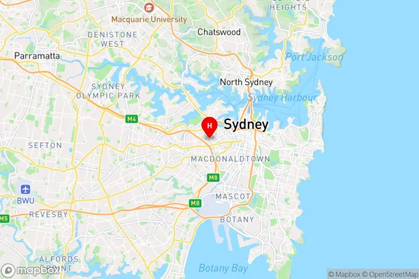
-33.8824062,151.1723645 (latitude/longitude)Annandale Area Map (Street)

Longitude
151.170165Latitude
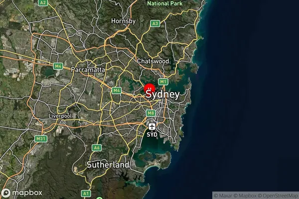
-33.881624Annandale Suburb Map (Satellite)

Distances
The distance from Annandale, Sydney - Inner West, NSW to AU Greater Capital CitiesSA1 Code 2011
12002138813SA1 Code 2016
12002138813SA2 Code
120021388SA3 Code
12002SA4 Code
120RA 2011
1RA 2016
1MMM 2015
1MMM 2019
1Charge Zone
N1LGA Region
Inner WestLGA Code
14170Electorate
Sydney