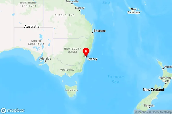
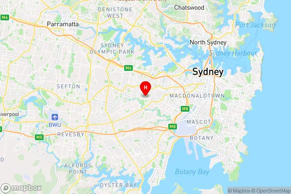
Ashbury Area, Ashbury Postcode(2193) & Map in Ashbury, Sydney - Inner West, NSW
Ashbury Area, Ashbury Postcode(2193) & Map in Ashbury, Sydney - Inner West, NSW, AU, Postcode: 2193
Ashbury, Canterbury (North) - Ashbury, Strathfield - Burwood - Ashfield, Sydney - Inner West, New South Wales, Australia, 2193
Ashbury Postcode
Area Name
AshburyAshbury Suburb Area Map (Polygon)

Ashbury Introduction
Ashbury is a suburb in Sydney's Inner West, known for its vibrant music scene, alternative culture, and multicultural community. It is home to several music venues, including the iconic Sydney Opera House and the Metro Theatre. The suburb has a rich history and was once a hub for counterculture and political activism. It is also home to a large number of immigrants, particularly from Latin America and Asia, contributing to its diverse and multicultural character.State Name
City or Big Region
District or Regional Area
Suburb Name
Ashbury Region Map

Country
Main Region in AU
R1Coordinates
-33.8997098,151.1199309 (latitude/longitude)Ashbury Area Map (Street)

Longitude
151.12086Latitude
-33.910308Ashbury Elevation
about 26.42 meters height above sea level (Altitude)Ashbury Suburb Map (Satellite)

Distances
The distance from Ashbury, Sydney - Inner West, NSW to AU Greater Capital CitiesSA1 Code 2011
12003139205SA1 Code 2016
12003139205SA2 Code
120031392SA3 Code
12003SA4 Code
120RA 2011
1RA 2016
1MMM 2015
1MMM 2019
1Charge Zone
N1LGA Region
BurwoodLGA Code
11300Electorate
Watson