Drummoyne Area, Drummoyne Postcode(1470) & Map in Drummoyne, Sydney - Inner West, NSW
Drummoyne Area, Drummoyne Postcode(1470) & Map in Drummoyne, Sydney - Inner West, NSW, AU, Postcode: 1470
Drummoyne, Drummoyne - Rodd Point, Canada Bay, Sydney - Inner West, New South Wales, Australia, 1470
Drummoyne Postcode
Area Name
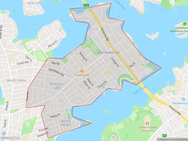
DrummoyneDrummoyne Suburb Area Map (Polygon)

Drummoyne Introduction
Drummoyne is a suburb in Sydney's Inner West, 8 kilometres west of the CBD. It is known for its peaceful atmosphere, tree-lined streets, and well-maintained parks. The suburb has a diverse population and is home to many families, young professionals, and retirees. It is also home to several prestigious schools, including the prestigious Sydney Grammar School. Drummoyne is well-connected to public transport, with several bus routes and the ferry wharf located within walking distance.State Name
City or Big Region
District or Regional Area
Suburb Name
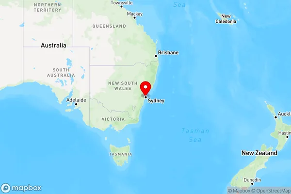
Drummoyne Region Map

Country
Main Region in AU
R1Coordinates
-33.8510541,151.1545209 (latitude/longitude)Drummoyne Area Map (Street)

Longitude
151.151958Latitude
-33.842999Drummoyne Elevation
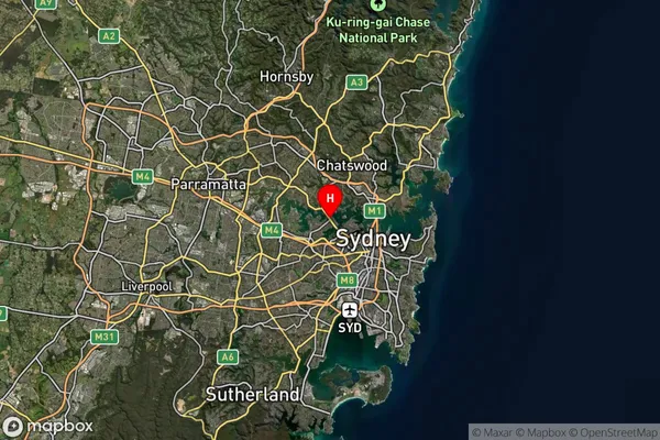
about 11.79 meters height above sea level (Altitude)Drummoyne Suburb Map (Satellite)

Distances
The distance from Drummoyne, Sydney - Inner West, NSW to AU Greater Capital CitiesSA1 Code 2011
12001138529SA1 Code 2016
12001138529SA2 Code
120011385SA3 Code
12001SA4 Code
120RA 2011
1RA 2016
1MMM 2015
1MMM 2019
1Charge Zone
N1LGA Region
Hunters HillLGA Code
14100Electorate
Banks