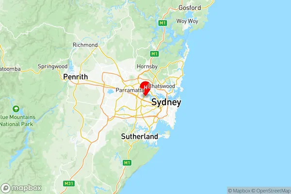
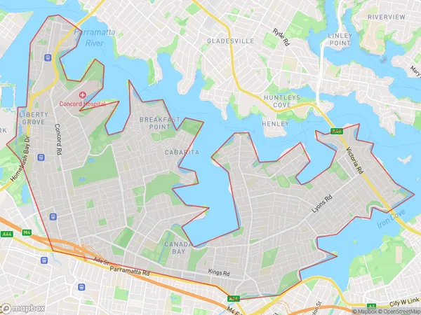
Canada Bay Suburbs & Region, Canada Bay Map & Postcodes
Canada Bay Suburbs & Region, Canada Bay Map & Postcodes in Canada Bay, Sydney Inner West, NSW, AU
Canada Bay Region
Region Name
Canada Bay (NSW, AU)Canada Bay Area
19.75 square kilometers (19.75 ㎢)Postal Codes
1470, 2047, 2138, and 2139 (In total, there are 4 postcodes in Canada Bay.)Canada Bay Introduction
Canada Bay is a suburb of Sydney, New South Wales, Australia. It is located 5 kilometers south of the Sydney central business district and is part of the local government area of the City of Canada Bay. The suburb is named after Canada Bay, which is a large natural bay located to the south of the suburb. Canada Bay is a popular residential area with a mix of apartments, townhouses, and detached homes. The suburb has a variety of shops, restaurants, and cafes, as well as a large supermarket and a medical center. Canada Bay is also home to a number of parks and recreational facilities, including Canada Bay Park, which has a swimming pool, tennis courts, and a playground. The suburb is well-connected to other parts of Sydney, with bus and train services nearby.Australia State
City or Big Region
District or Regional Area
Canada Bay Region Map

Canada Bay Postcodes / Zip Codes
Canada Bay Suburbs
Concord West North Strathfield
Concord West North Strathfield
Canada Bay full address
Canada Bay, Sydney Inner West, New South Wales, NSW, Australia, SaCode: 12001Country
Canada Bay, Sydney Inner West, New South Wales, NSW, Australia, SaCode: 12001
Canada Bay Suburbs & Region, Canada Bay Map & Postcodes has 3 areas or regions above, and there are 7 Canada Bay suburbs below. The sa3code for the Canada Bay region is 12001. Its latitude and longitude coordinates are -33.8463,151.091.
Canada Bay Suburbs & Localities
1. Drummoyne
2. Drummoyne
3. Concord West
4. Liberty Grove
6. Concord Repatriation Hospital
7. Concord West Dc
