Drummoyne Rodd Point Suburbs & Region, Drummoyne Rodd Point Map & Postcodes
Drummoyne Rodd Point Suburbs & Region, Drummoyne Rodd Point Map & Postcodes in Drummoyne Rodd Point, Strathfield Burwood Ashfield, Sydney Inner West, NSW, AU
Drummoyne Rodd Point Region
Region Name
Drummoyne Rodd Point (NSW, AU)Drummoyne Rodd Point Area
3.7 square kilometers (3.7 ㎢)Postal Codes
1470, 2046, and 2047 (In total, there are 3 postcodes in Drummoyne Rodd Point.)Drummoyne Rodd Point Introduction
Drummoyne Rodd Point is a peninsula located in Sydney's Inner West, New South Wales, Australia. It is situated between the Georges River and the Parramatta River, and is known for its scenic views, parks, and recreational facilities. The peninsula is home to a variety of wildlife, including birds, mammals, and reptiles, and is a popular spot for fishing, boating, and walking. It is also home to several historic buildings, including the Rodd Point Lighthouse, which was built in 1888 to guide ships into Sydney Harbour.Australia State
City or Big Region
Greater Capital City
Greater Sydney (1GSYD)District or Regional Area
Suburb Name
Drummoyne Rodd Point Region Map

Drummoyne Rodd Point Postcodes / Zip Codes
Drummoyne Rodd Point Suburbs
Drummoyne Rodd Point full address
Drummoyne Rodd Point, Strathfield Burwood Ashfield, Sydney Inner West, New South Wales, NSW, Australia, SaCode: 120011385Country
Drummoyne Rodd Point, Strathfield Burwood Ashfield, Sydney Inner West, New South Wales, NSW, Australia, SaCode: 120011385
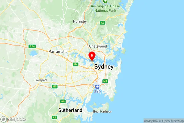
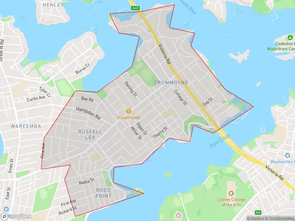
Drummoyne Rodd Point Suburbs & Region, Drummoyne Rodd Point Map & Postcodes has 0 areas or regions above, and there are 4 Drummoyne Rodd Point suburbs below. The sa2code for the Drummoyne Rodd Point region is 120011385. Its latitude and longitude coordinates are -33.8511,151.155. Drummoyne Rodd Point area belongs to Australia's greater capital city Greater Sydney.
Drummoyne Rodd Point Suburbs & Localities
1. Drummoyne
2. Rodd Point
3. Russell Lea
4. Drummoyne
