Kaipara Suburbs & Region, Kaipara Map & Postcodes in Kaipara, Northland
Kaipara Postcodes, Kaipara ZipCodes, Kaipara , Kaipara Northland, Kaipara Suburbs, Kaipara Region, Kaipara Map, Kaipara Area
Kaipara Region (Kaipara Harbour Region)
Kaipara Suburbs
Kaipara is a district place type in Northland, NZ. It contains 19 suburbs or localities.Kaipara district
KaiparaKaipara Introduction
Kaipara is a small town in Northland, New Zealand, with a population of around 1,200 people. It is located on the Kaipara Harbour and is known for its beautiful beaches, fishing, and forestry. The town has a rich history, with early Māori settlements and a European presence dating back to the 1800s. Kaipara is also home to the Kaipara District Council, which administers the area and provides services to its residents. The town is surrounded by stunning natural scenery, including the Kaipara Forest Park, which is a popular destination for hiking and camping.Kaipara Region
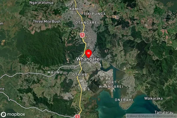
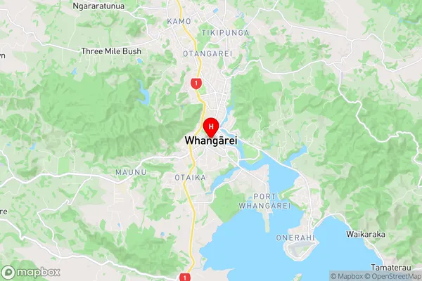
Kaipara Satellite Map

Full Address
Kaipara, NorthlandKaipara Coordinates
-35.7275268,174.3194202 (Latitude / Longitude)Kaipara Map in NZ

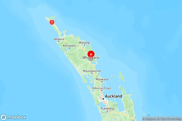
NZ Island
North IslandCountry
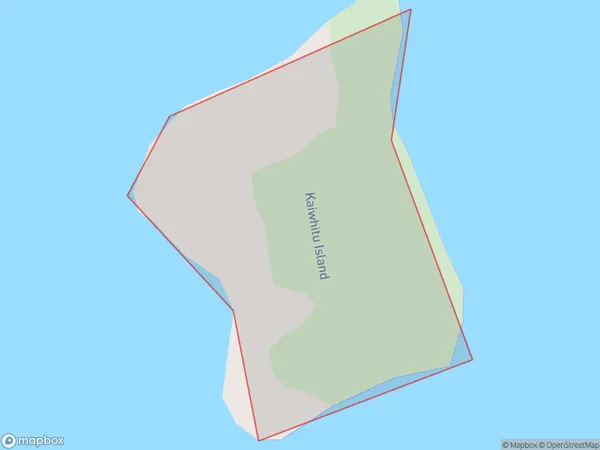
Kaipara Area Map (Polygon)

Name
Kaiwhitu IslandAdditional Name
Kaipara HarbourLocal Authority
Kaipara District
Kaipara Suburbs (Sort by Population)
Kaiwhitu Island also known as Kaipara Harbour. Kaiwhitu Island suburb has around
0.0 square
kilometers.There are more than 0 people (estimated)
live in Kaiwhitu Island, , Northland, New Zealand.
Kaipara Suburbs (Sort in alphabetical)
Arapohue
Dargaville
Dargaville Surrounds
Kaiwaka
Mangawhai
Mangawhai Heads
Mareretu
Matakohe
Maungaturoto
Otamatea Surrounds
Paparoa
Pouto
Ruawai
Tangiteroria
Te Kopuru
Tinopai
Topuni
Waipoua
Whakapirau
