Tinopai Suburbs & Region, Tinopai Map & Postcodes in Tinopai, Kaipara, Northland
Tinopai Postcodes, Tinopai ZipCodes, Tinopai , Tinopai Northland, Tinopai Suburbs, Tinopai Region, Tinopai Map, Tinopai Area
Tinopai Region (Arapaoa, Hukatere Region)
Tinopai Suburbs
Tinopai is a suburb place type in Kaipara, Northland, NZ. It contains 1 suburbs or localities.Tinopai district
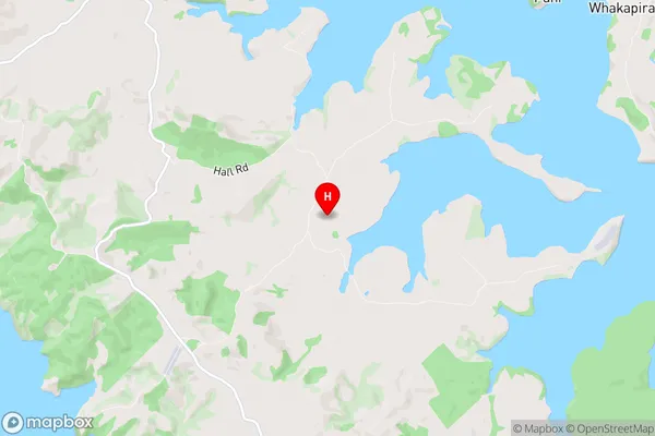
KaiparaTinopai Region Map
Tinopai Introduction
Tinopai is a small rural community in Northland, New Zealand. It is located on State Highway 12, about 12 km south of Kaitaia, and 26 km north of Whangarei. The community has a population of around 100 people and is known for its scenic views and peaceful atmosphere. The area is popular with tourists and outdoor enthusiasts, who enjoy hiking, fishing, and hunting in the surrounding forests and rivers. There is a small supermarket, a post office, and a petrol station in Tinopai, as well as a community hall and a church. The community is also home to a primary school and a kindergarten.Tinopai Region
Tinopai City
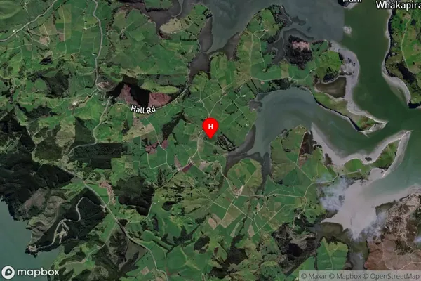
Tinopai Satellite Map
Full Address
Tinopai, Kaipara, NorthlandTinopai Coordinates
-36.185884,174.192967 (Latitude / Longitude)Tinopai Map in NZ
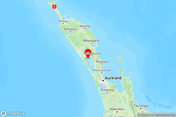
NZ Island
North IslandCountry
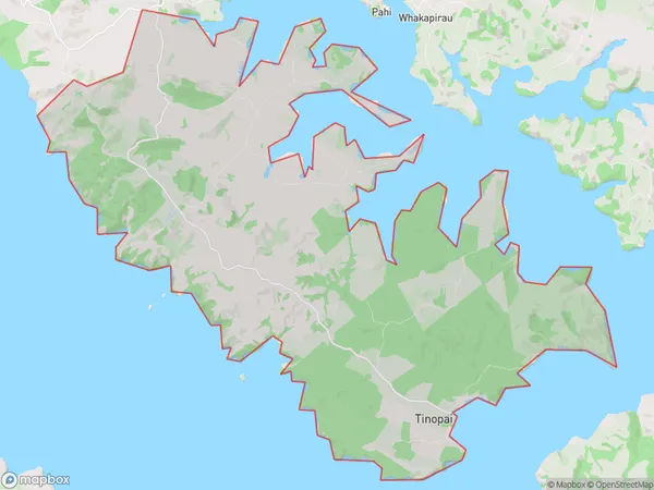
Tinopai Area Map (Polygon)
Name
TinopaiAdditional Name
Arapaoa, HukatereLocal Authority
Kaipara District
Tinopai Suburbs (Sort by Population)
Tinopai
Tinopai - 468