Tinopai Area, Tinopai Postcode & Map in Tinopai
Tinopai Area, Tinopai Postcode & Map in Tinopai, Kaipara District, New Zealand
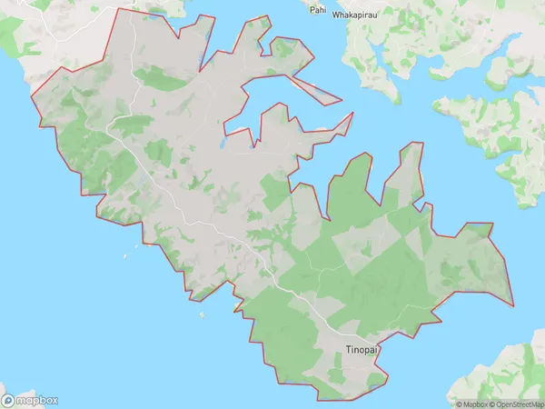
Tinopai, Kaipara District, New Zealand
Tinopai Area (estimated)
94.3 square kilometersTinopai Population (estimated)
468 people live in Tinopai, Northland, NZTinopai Suburb Area Map (Polygon)
Tinopai Introduction
Tinopai is a small rural community in Northland, New Zealand. It is located on State Highway 12, approximately 12 km south of Kaitaia and 32 km north of Whangarei. The community has a population of around 100 people and is known for its scenic surroundings and traditional Maori culture. The area is popular with tourists and outdoor enthusiasts, who enjoy activities such as hiking, fishing, and hunting.Region
Major City
Suburb Name
TinopaiOther Name(s)
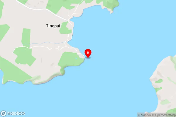
Arapaoa, HukatereTinopai Area Map (Street)
Local Authority
Kaipara DistrictFull Address
Tinopai, Kaipara District, New ZealandAddress Type
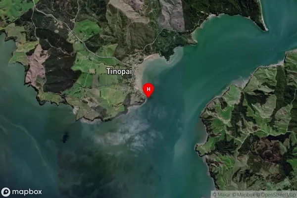
Locality in Major Locality TinopaiTinopai Suburb Map (Satellite)
Country
Main Region in AU
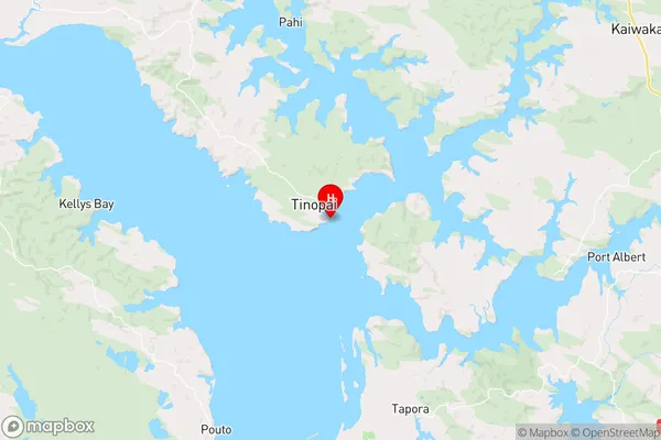
NorthlandTinopai Region Map
Coordinates
-36.257422,174.2524062 (latitude/longitude)Distances
The distance from Tinopai, Tinopai, Kaipara District to NZ Top 10 Cities