Matakohe Suburbs & Region, Matakohe Map & Postcodes in Matakohe, Kaipara, Northland
Matakohe Postcodes, Matakohe ZipCodes, Matakohe , Matakohe Northland, Matakohe Suburbs, Matakohe Region, Matakohe Map, Matakohe Area
Matakohe Region (Oparaku Region)
Matakohe Suburbs
Matakohe is a city place type in Kaipara, Northland, NZ. It contains 2 suburbs or localities.Matakohe district
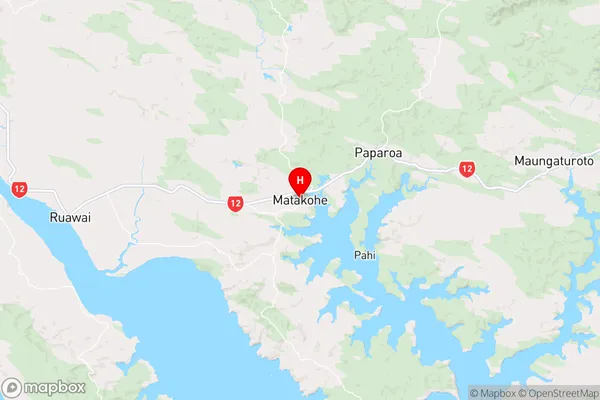
KaiparaMatakohe Region Map
Matakohe Introduction
Matakohe is a small town in Northland, New Zealand, located on the banks of the Hokianga Harbour. It is known for its beautiful beaches, historic buildings, and friendly community. The town has a population of around 1,000 people and is a popular tourist destination, particularly during the summer months. Matakohe also has a strong cultural heritage, with a number of museums and galleries showcasing the region's history and culture. The town is surrounded by stunning natural scenery, including the Matakohe Kauri Forest, which is home to some of the oldest and largest kauri trees in the world.Matakohe Region
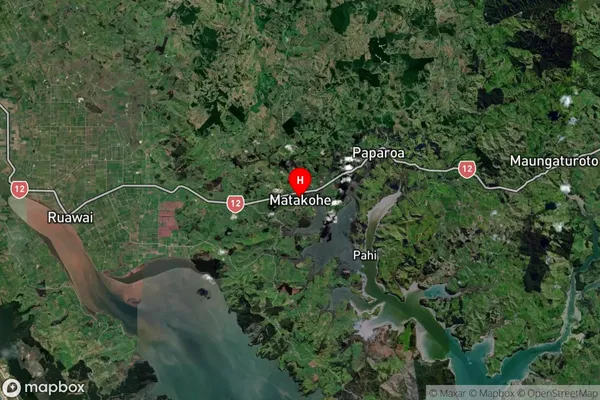
Matakohe Satellite Map
Full Address
Matakohe, Kaipara, NorthlandMatakohe Coordinates
-36.127187,174.183087 (Latitude / Longitude)Matakohe Map in NZ
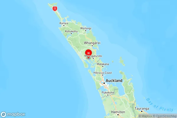
NZ Island
North IslandCountry
Matakohe Area Map (Polygon)
Not available for nowName
MatakoheAdditional Name
OparakuLocal Authority
Kaipara District