Matakohe Area, Matakohe Postcode(0593) & Map in Matakohe
Matakohe Area, Matakohe Postcode(0593) & Map in Matakohe, Kaipara District, New Zealand
Matakohe, Kaipara District, New Zealand
Matakohe Area (estimated)
-1.2 square kilometersMatakohe Population (estimated)
366 people live in Matakohe, Northland, NZMatakohe Suburb Area Map (Polygon)
Not available for nowMatakohe Introduction
Matakohe is a small town in Northland, New Zealand, with a population of around 1,200 people. It is known for its beautiful beaches, rich cultural heritage, and as a gateway to the Bay of Islands. The town is surrounded by farmland and has a relaxed, rural atmosphere. It is also home to the Matakohe Cheese Factory, which produces a variety of cheese products using milk from local cows.Region
Major City
Suburb Name
MatakoheOther Name(s)
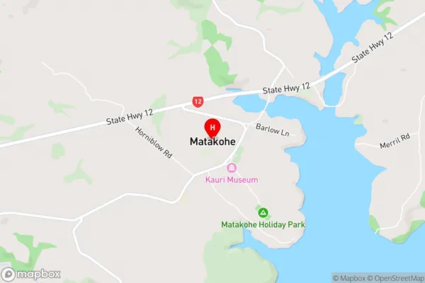
OparakuMatakohe Area Map (Street)
Local Authority
Kaipara DistrictFull Address
Matakohe, Kaipara District, New ZealandAddress Type
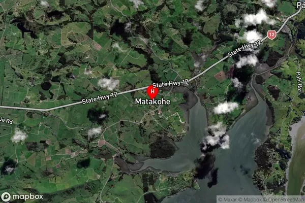
Locality in Major Locality MatakoheMatakohe Suburb Map (Satellite)
Country
Main Region in AU
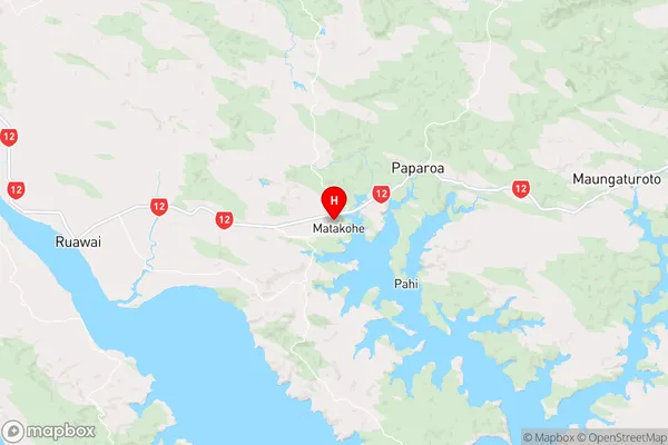
NorthlandMatakohe Region Map
Coordinates
-36.127187,174.1830871 (latitude/longitude)Distances
The distance from Matakohe, Matakohe, Kaipara District to NZ Top 10 Cities