Waipoua Suburbs & Region, Waipoua Map & Postcodes in Waipoua, Kaipara, Northland
Waipoua Postcodes, Waipoua ZipCodes, Waipoua , Waipoua Northland, Waipoua Suburbs, Waipoua Region, Waipoua Map, Waipoua Area
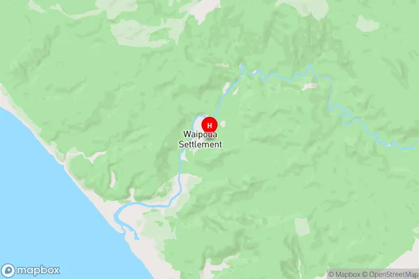
Waipoua Region (Kawerua, Ohae, Waipoua Settlement Region)
Waipoua Suburbs
Waipoua is a suburb place type in Kaipara, Northland, NZ. It contains 0 suburbs or localities.Waipoua district
KaiparaWaipoua Region Map
Waipoua Introduction
Waipoua Forest is a forest located in Northland, New Zealand. It is the largest forest in Northland and is home to a variety of plant and animal species, including the kauri tree, which is the tallest tree in New Zealand. The forest is also home to a number of endangered species, such as the Northland brown kiwi and the Northland kauri. The forest is a popular destination for tourists and outdoor enthusiasts, with a number of walking tracks and campgrounds available for visitors to enjoy.Waipoua Region
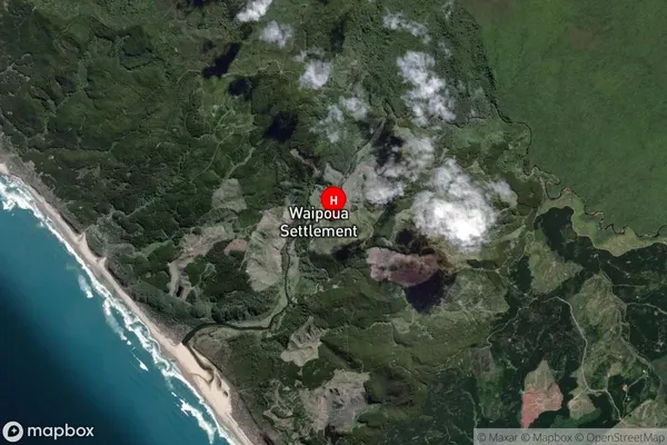
Waipoua Satellite Map
Full Address
Waipoua, Kaipara, NorthlandWaipoua Coordinates
-35.650393,173.4984879 (Latitude / Longitude)Waipoua Map in NZ
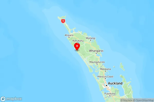
NZ Island
North IslandCountry
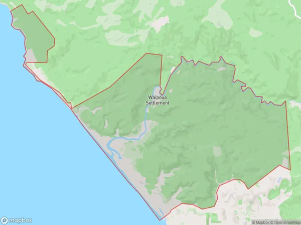
Waipoua Area Map (Polygon)
Name
WaipouaAdditional Name
Kawerua, Ohae, Waipoua SettlementLocal Authority
Far North District, Kaipara District
Waipoua Suburbs (Sort by Population)
Waipoua also known as Kawerua, Ohae, Waipoua Settlement. Waipoua suburb has around
40.9 square
kilometers.There are more than 34 people (estimated)
live in Waipoua, , Northland, New Zealand.