Waipoua Area, Waipoua Postcode & Map in Waipoua, Far North District
Waipoua Area, Waipoua Postcode & Map in Waipoua, Far North District, Kaipara District, New Zealand
Waipoua, Far North District, Kaipara District, New Zealand
Waipoua Area (estimated)
40.9 square kilometersWaipoua Population (estimated)
34 people live in Waipoua, Northland, NZWaipoua Suburb Area Map (Polygon)
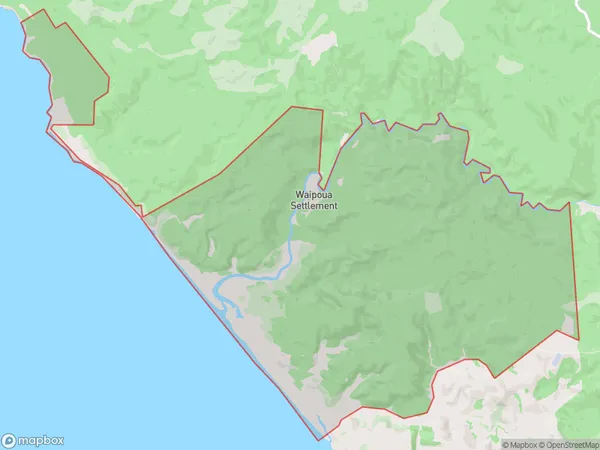
Waipoua Introduction
Waipoua Forest is a forest located in Northland, New Zealand. It is known for its ancient kauri trees, some of which are over 1,500 years old. The forest is a popular tourist destination and is home to a variety of wildlife, including kiwi, tui, and kea. The forest is also a significant cultural and spiritual site for the local Māori people, who have lived in the area for centuries.Region
0Suburb Name
WaipouaOther Name(s)
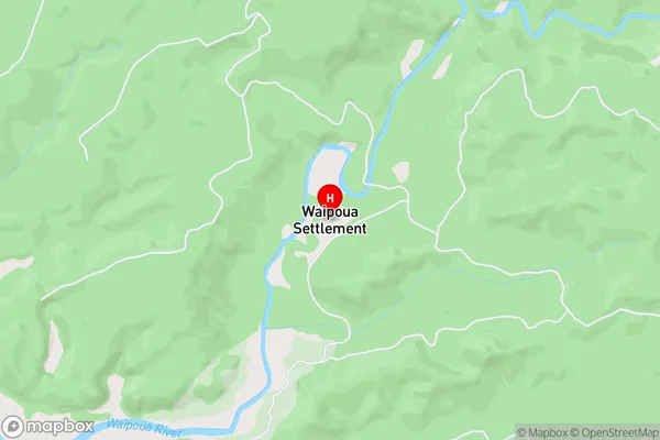
Kawerua, Ohae, Waipoua SettlementWaipoua Area Map (Street)
Local Authority
Far North District, Kaipara DistrictFull Address
Waipoua, Far North District, Kaipara District, New ZealandAddress Type
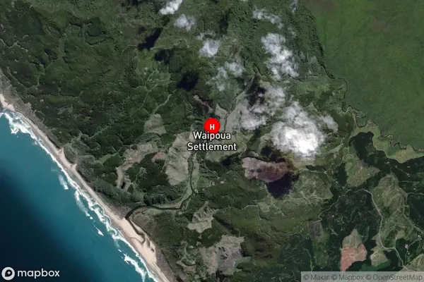
Locality in Major Locality ArangaWaipoua Suburb Map (Satellite)
Country
Main Region in AU
NorthlandWaipoua Region Map
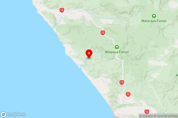
Coordinates
-35.6503393,173.4962225 (latitude/longitude)Distances
The distance from Waipoua, Aranga, Far North District, Kaipara District to NZ Top 10 Cities