Maungaturoto Suburbs & Region, Maungaturoto Map & Postcodes in Maungaturoto, Kaipara, Northland
Maungaturoto Postcodes, Maungaturoto ZipCodes, Maungaturoto , Maungaturoto Northland, Maungaturoto Suburbs, Maungaturoto Region, Maungaturoto Map, Maungaturoto Area
Maungaturoto Region (Batley, Huarau, Marohemo, Tanoa, Wairere Region)
Maungaturoto Suburbs
Maungaturoto is a city place type in Kaipara, Northland, NZ. It contains 3 suburbs or localities.Maungaturoto district
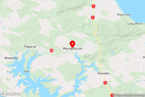
KaiparaMaungaturoto Region Map
Maungaturoto Introduction
Maungaturoto is a small coastal village in Northland, New Zealand. It is located on the Bay of Islands and is known for its stunning natural beauty, including pristine beaches, rugged cliffs, and lush forests. The village has a population of around 100 people and is a popular destination for tourists who enjoy hiking, fishing, and kayaking. The area is also home to a number of historic sites, including a former kauri gum factory and a stone church built in the 1870s. Maungaturoto is a peaceful and tranquil place that offers a unique glimpse into the traditional lifestyle of New Zealand's North Island.Maungaturoto Region
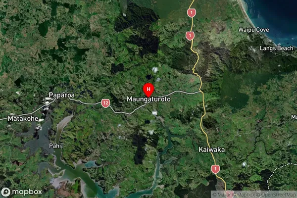
Maungaturoto Satellite Map
Full Address
Maungaturoto, Kaipara, NorthlandMaungaturoto Coordinates
-36.105406,174.357369 (Latitude / Longitude)Maungaturoto Map in NZ
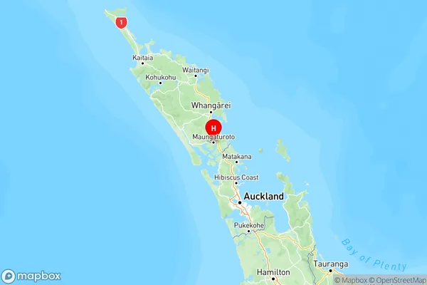
NZ Island
North IslandCountry
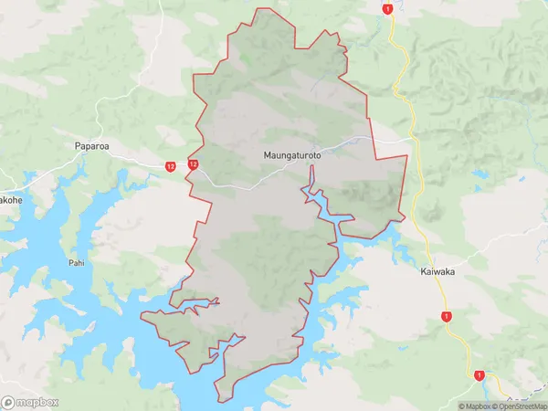
Maungaturoto Area Map (Polygon)
Name
MaungaturotoAdditional Name
Batley, Huarau, Marohemo, Tanoa, WairereLocal Authority
Kaipara District
Maungaturoto Suburbs (Sort by Population)
Maungaturoto
Maungaturoto - 1997Brynderwyn
Brynderwyn - 145Mareretu
Mareretu - 85