Brynderwyn Area, Brynderwyn Postcode & Map in Brynderwyn
Brynderwyn Area, Brynderwyn Postcode & Map in Brynderwyn, Kaipara District, New Zealand
Brynderwyn, Kaipara District, New Zealand
Brynderwyn Area (estimated)
29.9 square kilometersBrynderwyn Population (estimated)
145 people live in Brynderwyn, Northland, NZBrynderwyn Suburb Area Map (Polygon)
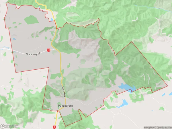
Brynderwyn Introduction
Brynderwyn is a small rural community in Northland, New Zealand. It is located on State Highway 12, approximately 12 km south of Maungaturoto and 160 km north of Whangarei. The community has a population of around 100 people and is known for its scenic surroundings, including the Brynderwyn Hills and the Brynderwyn Forest. The area is popular with outdoor enthusiasts and has a variety of hiking and cycling trails.Region
Major City
Suburb Name
BrynderwynOther Name(s)
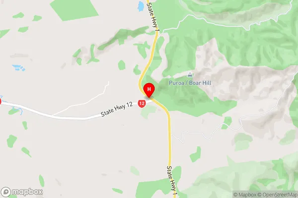
PukekaroroBrynderwyn Area Map (Street)
Local Authority
Kaipara DistrictFull Address
Brynderwyn, Kaipara District, New ZealandAddress Type
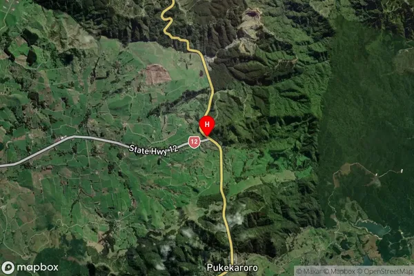
Locality in Town MaungaturotoBrynderwyn Suburb Map (Satellite)
Country
Main Region in AU
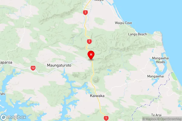
NorthlandBrynderwyn Region Map
Coordinates
-36.0967212,174.429678 (latitude/longitude)Distances
The distance from Brynderwyn, Maungaturoto, Kaipara District to NZ Top 10 Cities