Maungaturoto Area, Maungaturoto Postcode(0520) & Map in Maungaturoto
Maungaturoto Area, Maungaturoto Postcode(0520) & Map in Maungaturoto, Kaipara District, New Zealand
Maungaturoto, Kaipara District, New Zealand
Maungaturoto Area (estimated)
184.9 square kilometersMaungaturoto Population (estimated)
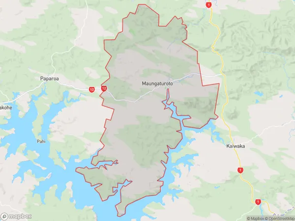
1997 people live in Maungaturoto, Northland, NZMaungaturoto Suburb Area Map (Polygon)
Maungaturoto Introduction
Maungaturoto is a small rural community in Northland, New Zealand. It is located on State Highway 12, approximately 12 km south of Kaikohe. The community has a population of around 100 people and is known for its scenic coastal location and traditional Maori culture. The area is also popular with tourists who enjoy hiking, fishing, and exploring the nearby beaches.Region
Major City
Suburb Name
MaungaturotoOther Name(s)
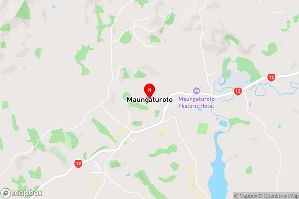
Batley, Huarau, Marohemo, Tanoa, WairereMaungaturoto Area Map (Street)
Local Authority
Kaipara DistrictFull Address
Maungaturoto, Kaipara District, New ZealandAddress Type
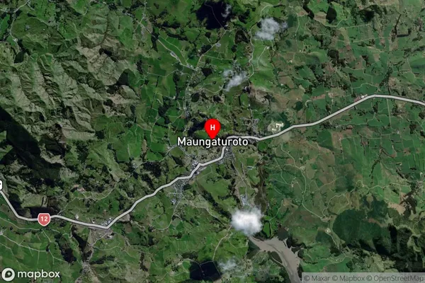
Suburb in Town MaungaturotoMaungaturoto Suburb Map (Satellite)
Country
Main Region in AU
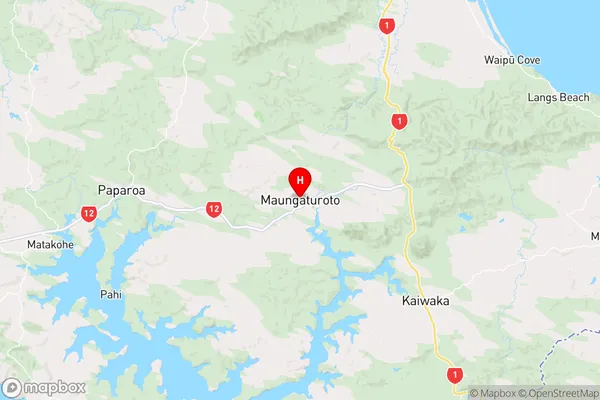
NorthlandMaungaturoto Region Map
Coordinates
-36.1054065,174.3573695 (latitude/longitude)Distances
The distance from Maungaturoto, Maungaturoto, Kaipara District to NZ Top 10 Cities