Arapohue Suburbs & Region, Arapohue Map & Postcodes in Arapohue, Kaipara, Northland
Arapohue Postcodes, Arapohue ZipCodes, Arapohue , Arapohue Northland, Arapohue Suburbs, Arapohue Region, Arapohue Map, Arapohue Area
Arapohue Region (Mititai, Okahu, Windy Hill Region)
Arapohue Suburbs
Arapohue is a suburb place type in Kaipara, Northland, NZ. It contains 0 suburbs or localities.Arapohue district
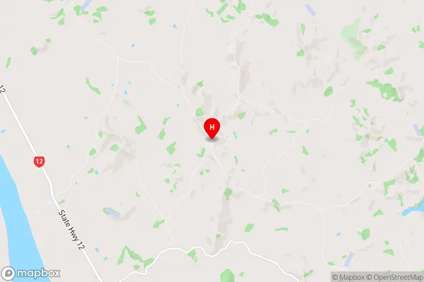
KaiparaArapohue Region Map
Arapohue Introduction
Arapohue is a small town in Northland, New Zealand, located on the banks of the Arapohue River. It is known for its stunning natural scenery, including waterfalls, forests, and a picturesque lake. The town has a population of around 200 people and is a popular destination for outdoor enthusiasts and nature lovers. The town is also home to a historic stone church, a museum, and a variety of shops and cafes.Arapohue Region
Arapohue City
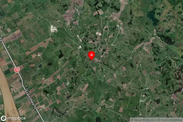
Arapohue Satellite Map
Full Address
Arapohue, Kaipara, NorthlandArapohue Coordinates
-35.985021,173.958453 (Latitude / Longitude)Arapohue Map in NZ
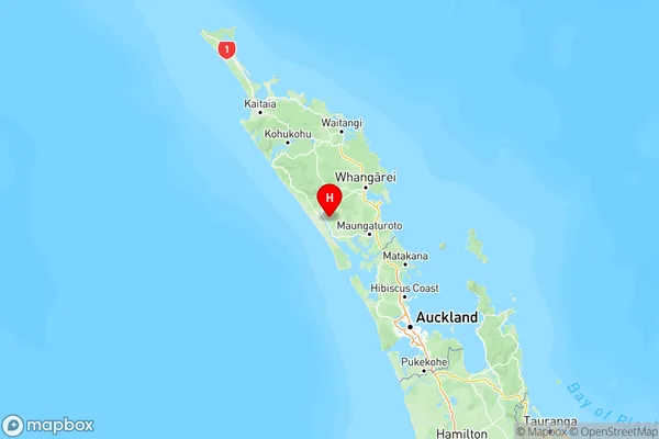
NZ Island
North IslandCountry
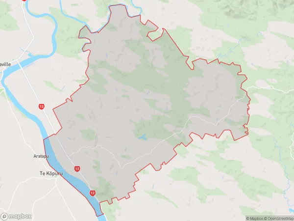
Arapohue Area Map (Polygon)
Name
ArapohueAdditional Name
Mititai, Okahu, Windy HillLocal Authority
Kaipara District
Arapohue Suburbs (Sort by Population)
Arapohue also known as Mititai, Okahu, Windy Hill. Arapohue suburb has around
229.8 square
kilometers.There are more than 512 people (estimated)
live in Arapohue, Dargaville, Northland, New Zealand.