Arapohue Area, Arapohue Postcode(0370) & Map in Arapohue
Arapohue Area, Arapohue Postcode(0370) & Map in Arapohue, Kaipara District, New Zealand
Arapohue, Kaipara District, New Zealand
Arapohue Area (estimated)
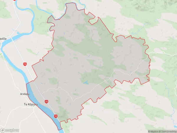
229.8 square kilometersArapohue Population (estimated)
512 people live in Arapohue, Northland, NZArapohue Suburb Area Map (Polygon)
Arapohue Introduction
Arapohue is a small town in Northland, New Zealand, located on State Highway 12. It is known for its beautiful natural surroundings, including the Arapohue Forest Park and the Arapohue River. The town has a population of around 1,000 people and is a popular destination for outdoor enthusiasts and tourists.Region
Major City
Suburb Name
ArapohueOther Name(s)
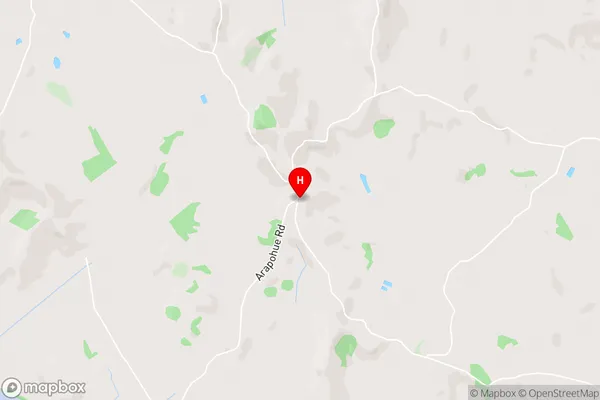
Mititai, Okahu, Windy HillArapohue Area Map (Street)
Local Authority
Kaipara DistrictFull Address
Arapohue, Kaipara District, New ZealandAddress Type
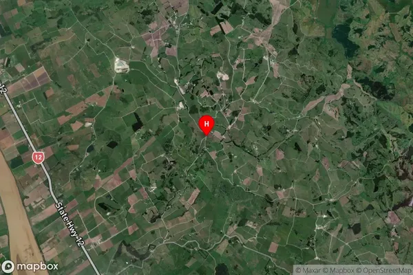
Locality in Town DargavilleArapohue Suburb Map (Satellite)
Country
Main Region in AU
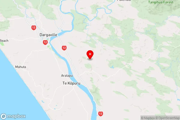
NorthlandArapohue Region Map
Coordinates
-35.9850211,173.9584529 (latitude/longitude)Distances
The distance from Arapohue, Dargaville, Kaipara District to NZ Top 10 Cities