Te Kopuru Suburbs & Region, Te Kopuru Map & Postcodes in Te Kopuru, Kaipara, Northland
Te Kopuru Postcodes, Te Kopuru ZipCodes, Te Kopuru , Te Kopuru Northland, Te Kopuru Suburbs, Te Kopuru Region, Te Kopuru Map, Te Kopuru Area
Te Kopuru Region (Glinks Gully, Koremoa, Redhill, Repia, Taingaehe, Tatarariki, Tikinui Region)
Te Kopuru Suburbs
Te Kopuru is a city place type in Kaipara, Northland, NZ. It contains 1 suburbs or localities.Te Kopuru Postcodes
Te Kopuru district
KaiparaTe Kopuru Region Map
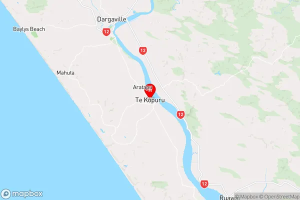
Te Kopuru Introduction
Te Kopuru is a small town in Northland, New Zealand, located on the banks of the Te Kopuru River. It is known for its scenic beauty, with lush forests, waterfalls, and a stunning coastline. The town has a population of around 1,000 people and is a popular destination for outdoor enthusiasts, with many hiking and fishing opportunities in the surrounding area. Te Kopuru also has a historic stone church, a museum, and a community hall.Te Kopuru Region
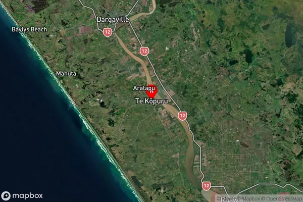
Te Kopuru Satellite Map
Full Address
Te Kopuru, Kaipara, NorthlandTe Kopuru Coordinates
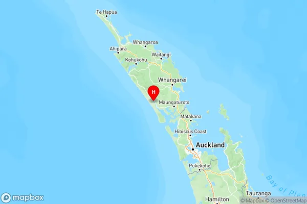
-36.028019,173.915777 (Latitude / Longitude)Te Kopuru Map in NZ
NZ Island
North IslandCountry
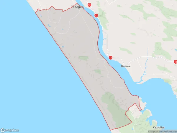
Te Kopuru Area Map (Polygon)
Name
Te KopuruAdditional Name
Glinks Gully, Koremoa, Redhill, Repia, Taingaehe, Tatarariki, TikinuiLocal Authority
Kaipara District
Te Kopuru Suburbs (Sort by Population)
Te Kopuru
Te Kopuru - 1199