Te Kopuru Area, Te Kopuru Postcode(0371) & Map in Te Kopuru
Te Kopuru Area, Te Kopuru Postcode(0371) & Map in Te Kopuru, Kaipara District, New Zealand
Te Kopuru, Kaipara District, New Zealand
Te Kopuru Postcodes
Te Kopuru Area (estimated)
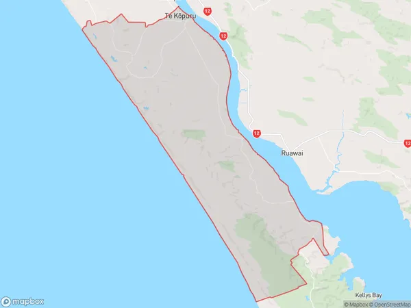
242.1 square kilometersTe Kopuru Population (estimated)
1199 people live in Te Kopuru, Northland, NZTe Kopuru Suburb Area Map (Polygon)
Te Kopuru Introduction
Te Kopuru is a small town in Northland, New Zealand, with a population of around 100. It is located on the banks of the Te Kopuru River and is known for its scenic surroundings and outdoor activities such as fishing, hiking, and kayaking. The town also has a historic church and a museum that showcases the region's cultural heritage.Region
Major City
Suburb Name
Te Kopuru (Maori Name: Te Kōpuru)Other Name(s)
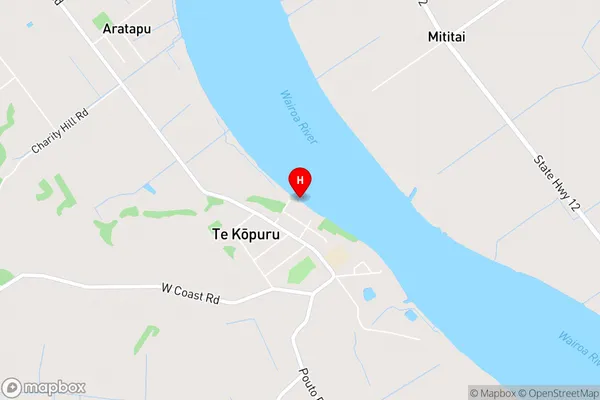
Glinks Gully, Koremoa, Redhill, Repia, Taingaehe, Tatarariki, TikinuiTe Kopuru Area Map (Street)
Local Authority
Kaipara DistrictFull Address
Te Kopuru, Kaipara District, New ZealandAddress Type
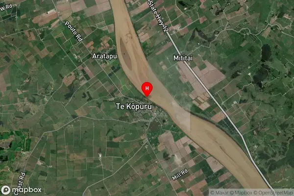
Locality in Town Te KopuruTe Kopuru Suburb Map (Satellite)
Country
Main Region in AU
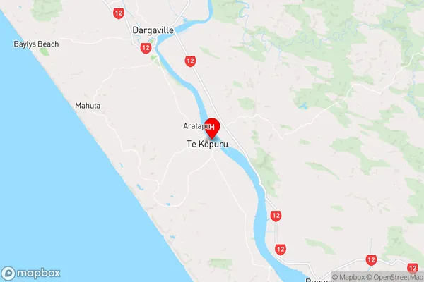
NorthlandTe Kopuru Region Map
Coordinates
-36.0256436,173.92042 (latitude/longitude)Distances
The distance from Te Kopuru, Te Kopuru, Kaipara District to NZ Top 10 Cities