Kaikohe Suburbs & Region, Kaikohe Map & Postcodes in Kaikohe, Far North, Northland
Kaikohe Postcodes, Kaikohe ZipCodes, Kaikohe , Kaikohe Northland, Kaikohe Suburbs, Kaikohe Region, Kaikohe Map, Kaikohe Area
Kaikohe Region (Kirioke, Ngapuhi, Ngawha, Rakautao, Te Iringa Region)
Kaikohe Suburbs
Kaikohe is a city place type in Far North, Northland, NZ. It contains 15 suburbs or localities.Kaikohe district
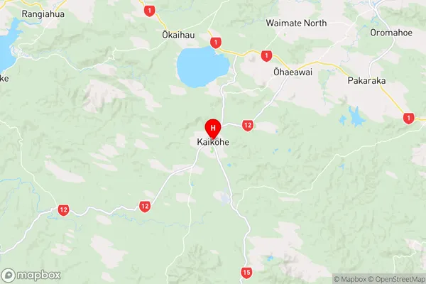
Far NorthKaikohe Region Map
Kaikohe Introduction
Kaikohe is a small town in Northland, New Zealand, with a population of around 4,000 people. It is known for its rich cultural heritage, including the Kaikohe Mori, the local Maori tribe. The town is located on the banks of the Kaikohe River and is surrounded by stunning natural scenery, including mountains, forests, and beaches. The town has a variety of recreational facilities, including a golf course, a swimming pool, and a sports complex. Kaikohe is also home to a number of important historical sites, including the Kaikohe War Memorial and the Kaikohe Museum. The town is a popular destination for tourists and is known for its friendly community and warm climate.Kaikohe Region
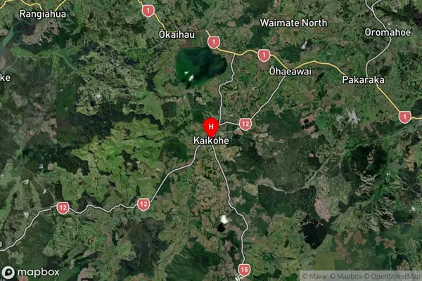
Kaikohe Satellite Map
Full Address
Kaikohe, Far North, NorthlandKaikohe Coordinates
-35.406978,173.804839 (Latitude / Longitude)Kaikohe Map in NZ
NZ Island
North IslandCountry
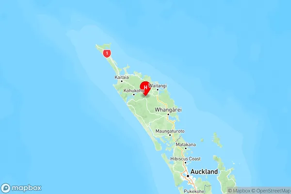
Kaikohe Area Map (Polygon)

Name
KaikoheAdditional Name
Kirioke, Ngapuhi, Ngawha, Rakautao, Te IringaLocal Authority
Far North District
Kaikohe Suburbs (Sort by Population)
Kaikohe
Kaikohe - 6760Ohaeawai
Ohaeawai - 756Rawene
Rawene - 750Omapere
Omapere - 511Waimamaku
Waimamaku - 474Waima
Waima - 450Taheke
Taheke - 411Otaua
Otaua - 355Ngawha Springs
Ngawha Springs - 224Awarua
Awarua - 217Tautoro
Tautoro - 205Oue
Oue - 162Omanaia
Omanaia - 125Punakitere Valley
Punakitere Valley - 81Pukewharariki
Pukewharariki - 0