Omanaia Area, Omanaia Postcode & Map in Omanaia
Omanaia Area, Omanaia Postcode & Map in Omanaia, Far North District, New Zealand
Omanaia, Far North District, New Zealand
Omanaia Area (estimated)
23.1 square kilometersOmanaia Population (estimated)
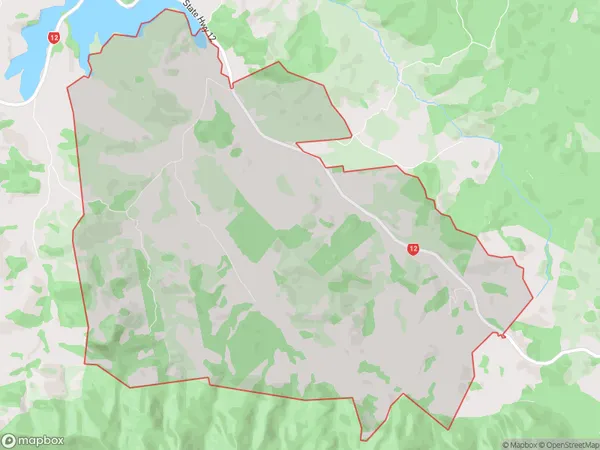
125 people live in Omanaia, Kaikohe-Hokianga Community, NZOmanaia Suburb Area Map (Polygon)
Omanaia Introduction
Omanaia is a small rural community in Kaikohe, Northland, New Zealand. It is located on State Highway 12 and is surrounded by farmland and native bush. The community has a primary school, a post office, and a small supermarket. The surrounding area is known for its scenic beauty, with many hiking and fishing opportunities.Region
Major City
Suburb Name
OmanaiaOther Name(s)
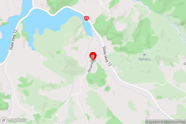
MangawheroOmanaia Area Map (Street)
Local Authority
Far North DistrictFull Address
Omanaia, Far North District, New ZealandAddress Type
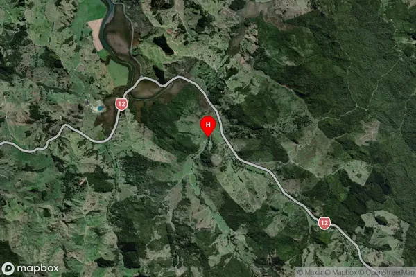
Locality in Town KaikoheOmanaia Suburb Map (Satellite)
Country
Main Region in AU
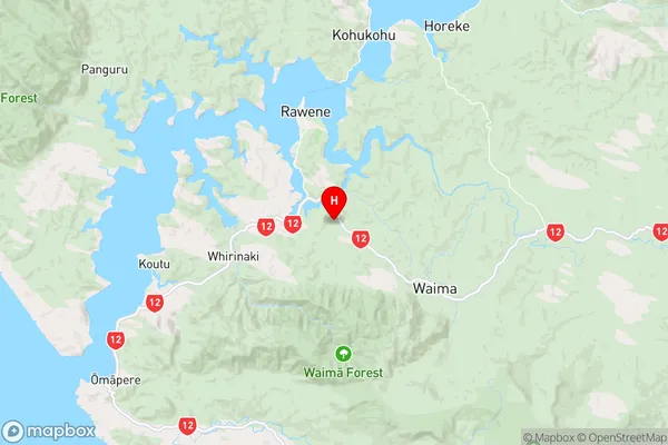
NorthlandOmanaia Region Map
Coordinates
-35.4556011,173.5236669 (latitude/longitude)Distances
The distance from Omanaia, Kaikohe, Far North District to NZ Top 10 Cities