Kaikohe Area, Kaikohe Postcode(0405) & Map in Kaikohe
Kaikohe Area, Kaikohe Postcode(0405) & Map in Kaikohe, Far North District, New Zealand
Kaikohe, Far North District, New Zealand
Kaikohe Area (estimated)
230.3 square kilometersKaikohe Population (estimated)
6760 people live in Kaikohe, Kaikohe-Hokianga Community, NZKaikohe Suburb Area Map (Polygon)

Kaikohe Introduction
Kaikohe is a small town in Northland, New Zealand, with a population of around 10,000 people. It is known for its rich cultural heritage, including its traditional Maori language and customs. The town is also home to a variety of industries, including farming, fishing, and forestry. Kaikohe is located on the banks of the Kaikohe River, which provides a vital source of water for the region. The town has a number of historic buildings, including the Kaikohe Courthouse, which was built in 1888.Region
Major City
Suburb Name
KaikoheOther Name(s)
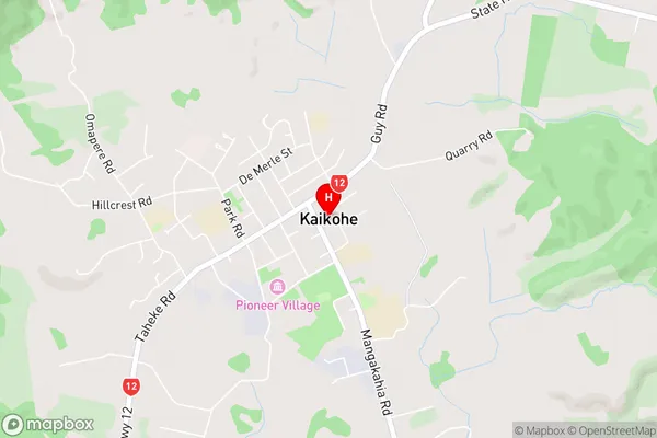
Kirioke, Ngapuhi, Ngawha, Rakautao, Te IringaKaikohe Area Map (Street)
Local Authority
Far North DistrictFull Address
Kaikohe, Far North District, New ZealandAddress Type
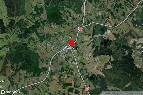
Suburb in Town KaikoheKaikohe Suburb Map (Satellite)
Country
Main Region in AU
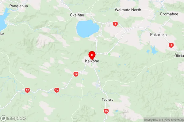
NorthlandKaikohe Region Map
Coordinates
-35.4069776,173.8048386 (latitude/longitude)Distances
The distance from Kaikohe, Kaikohe, Far North District to NZ Top 10 Cities