Waima Suburbs & Region, Waima Map & Postcodes in Waima, Kaikohe, Northland
Waima Postcodes, Waima ZipCodes, Waima , Waima Northland, Waima Suburbs, Waima Region, Waima Map, Waima Area
Waima Region (Moehau, Waima Valley Region)
Waima Suburbs
Waima is a suburb place type in Kaikohe, Northland, NZ. It contains 0 suburbs or localities.Waima Postcodes
Waima district
Far NorthWaima Region Map
Waima Introduction
Waima is a small rural community in Northland, New Zealand. It is located on the banks of the Waima River, about 100 km south of Whangarei. The community has a population of around 100 people and is known for its scenic surroundings and traditional Maori culture. Waima is surrounded by farmland and forest and is a popular destination for outdoor activities such as hiking, fishing, and hunting. The community also has a small primary school and a community hall.Waima Region
Waima City
Waima Satellite Map
Full Address
Waima, Kaikohe, NorthlandWaima Coordinates
-35.522663,173.619993 (Latitude / Longitude)Waima Map in NZ
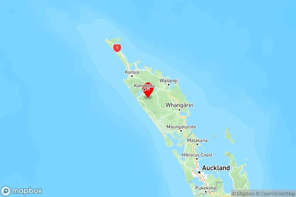
NZ Island
North IslandCountry
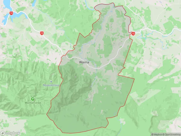
Waima Area Map (Polygon)
Name
WaimaAdditional Name
Moehau, Waima ValleyLocal Authority
Far North District
Waima Suburbs (Sort by Population)
Waima also known as Moehau, Waima Valley. Waima suburb has around
84.4 square
kilometers.There are more than 450 people (estimated)
live in Waima, Kaikohe-Hokianga Community, Northland, New Zealand.