Ngawha Springs Area, Ngawha Springs Postcode & Map in Ngawha Springs
Ngawha Springs Area, Ngawha Springs Postcode & Map in Ngawha Springs, Far North District, New Zealand
Ngawha Springs, Far North District, New Zealand
Ngawha Springs Area (estimated)
18.5 square kilometersNgawha Springs Population (estimated)
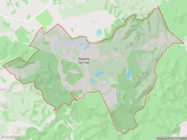
224 people live in Ngawha Springs, Kaikohe-Hokianga Community, NZNgawha Springs Suburb Area Map (Polygon)
Ngawha Springs Introduction
Ngawha Springs is a natural hot spring and geyser located in Kaikohe, Northland, New Zealand. It is known for its colorful and toxic water, which has a pH level of 2.5 and contains high levels of sulfur and other minerals. The springs have been used for therapeutic purposes since the 1800s and are a popular tourist attraction.Region
Major City
Suburb Name
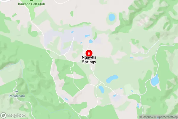
Ngawha SpringsNgawha Springs Area Map (Street)
Local Authority
Far North DistrictFull Address
Ngawha Springs, Far North District, New ZealandAddress Type
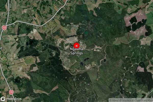
Locality in Town KaikoheNgawha Springs Suburb Map (Satellite)
Country
Main Region in AU
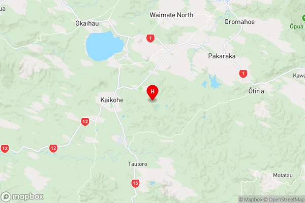
NorthlandNgawha Springs Region Map
Coordinates
-35.4086828,173.8597782 (latitude/longitude)Distances
The distance from Ngawha Springs, Kaikohe, Far North District to NZ Top 10 Cities