Otaua Area, Otaua Postcode(2682) & Map in Otaua
Otaua Area, Otaua Postcode(2682) & Map in Otaua, Far North District, New Zealand
Otaua, Far North District, New Zealand
Otaua Postcodes
Otaua Area (estimated)
-1.2 square kilometersOtaua Population (estimated)
355 people live in Otaua, Waikato, NZOtaua Suburb Area Map (Polygon)
Not available for nowOtaua Introduction
Otaua is a small rural town in Kaikohe, Waikato, New Zealand. It is known for its beautiful beaches, lush green countryside, and friendly community. The town has a population of around 1,000 people and is located on the banks of the Hokianga Harbour. Otaua is a popular destination for tourists and locals alike, with many activities to enjoy, including fishing, hiking, and kayaking. The town also has a local museum and a community hall, which hosts a variety of events and activities throughout the year.Region
Major City
Suburb Name
Otaua (Maori Name: Ōtaua)Other Name(s)
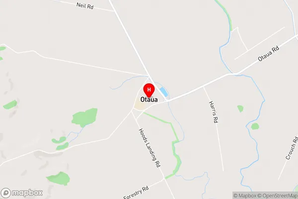
Mataraua, Punakitere, Three BridgesOtaua Area Map (Street)
Local Authority
Far North DistrictFull Address
Otaua, Far North District, New ZealandAddress Type
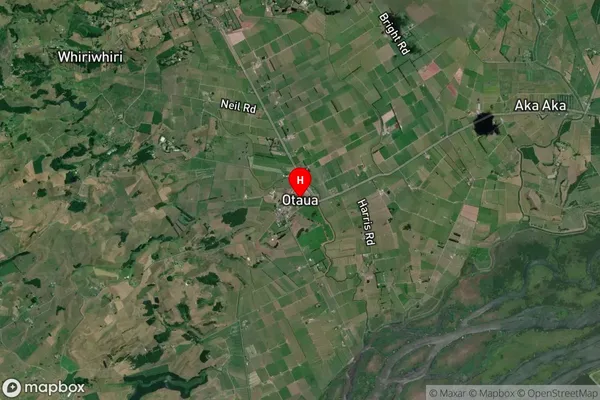
Locality in Town KaikoheOtaua Suburb Map (Satellite)
Country
Main Region in AU
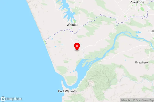
WaikatoOtaua Region Map
Coordinates
-37.3052357,174.7434895 (latitude/longitude)Distances
The distance from Otaua, Kaikohe, Far North District to NZ Top 10 Cities