Omapere Area, Omapere Postcode(0444) & Map in Omapere
Omapere Area, Omapere Postcode(0444) & Map in Omapere, Far North District, New Zealand
Omapere, Far North District, New Zealand
Omapere Postcodes
Omapere Area (estimated)
24.3 square kilometersOmapere Population (estimated)
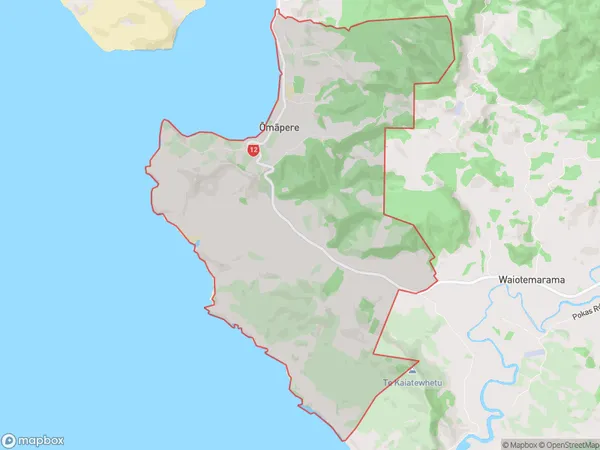
511 people live in Omapere, Kaikohe-Hokianga Community, NZOmapere Suburb Area Map (Polygon)
Omapere Introduction
Omapere is a small rural community in Kaikohe, Northland, New Zealand. It is located on the banks of the Kaikohe River and is known for its beautiful natural surroundings, including lush forests and waterfalls. The community has a population of around 100 people and is home to a primary school, a church, and a few small businesses. Omapere is a popular destination for tourists who enjoy hiking, fishing, and exploring the local culture and history.Region
Major City
Suburb Name
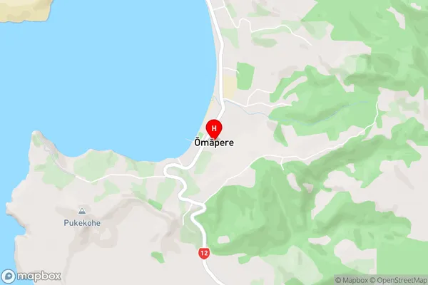
Omapere (Maori Name: Ōmāpere)Omapere Area Map (Street)
Local Authority
Far North DistrictFull Address
Omapere, Far North District, New ZealandAddress Type
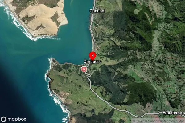
Locality in Town KaikoheOmapere Suburb Map (Satellite)
Country
Main Region in AU
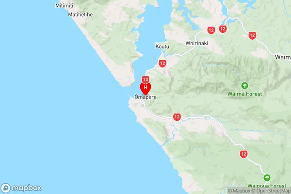
NorthlandOmapere Region Map
Coordinates
-35.5346888,173.388981 (latitude/longitude)Distances
The distance from Omapere, Kaikohe, Far North District to NZ Top 10 Cities