Clutha Suburbs & Region, Clutha Map & Postcodes in Clutha, Otago
Clutha Postcodes, Clutha ZipCodes, Clutha , Clutha Otago, Clutha Suburbs, Clutha Region, Clutha Map, Clutha Area
Clutha Region
Clutha Suburbs
Clutha is a district place type in Otago, NZ. It contains 16 suburbs or localities.Clutha district
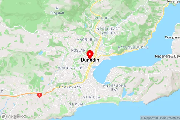
CluthaClutha Region Map
Clutha Introduction
Clutha is a small town in Otago, New Zealand, located on the Clutha River. It is known for its historic pubs, scenic river views, and outdoor activities such as fishing and hiking. The town has a population of around 1,200 people and is located 45 minutes from Dunedin, the largest city in Otago. Clutha was founded in 1861 and was named after the Clutha River, which flows through the town. The river was named after the Clutha River in Scotland, which was in turn named after the Scottish town of Clutha.Clutha Region
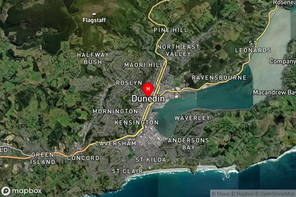
Clutha Satellite Map
Full Address
Clutha, OtagoClutha Coordinates
-45.8740984,170.5035755 (Latitude / Longitude)Clutha Map in NZ
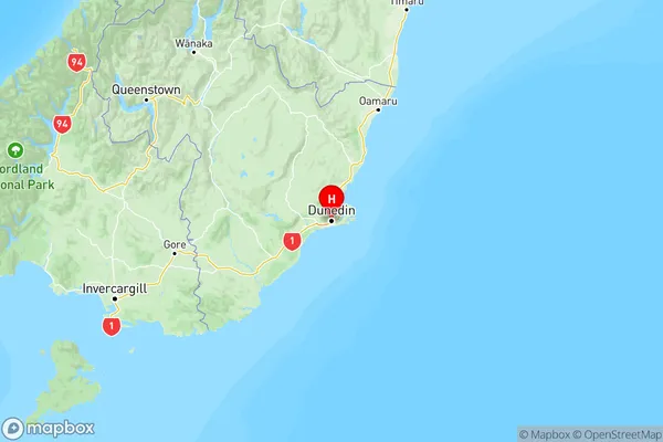
NZ Island
South IslandCountry
Clutha Suburbs (Sort by Population)
Clutha Suburbs (Sort in alphabetical)
Balclutha
Catlins Surrounds
Chaslands
Clinton and Surrounds
Greenfield
Kaitangata
Kaka Point
Lawrence
Milton
Owaka
Papatowai/Pounawea
Taieri Mouth
Tapanui
Waihola
Waitahuna
West Otago Surrounds