Kaitangata Suburbs & Region, Kaitangata Map & Postcodes in Kaitangata, Clutha, Otago
Kaitangata Postcodes, Kaitangata ZipCodes, Kaitangata , Kaitangata Otago, Kaitangata Suburbs, Kaitangata Region, Kaitangata Map, Kaitangata Area
Kaitangata Region
Kaitangata Suburbs
Kaitangata is a city place type in Clutha, Otago, NZ. It contains 4 suburbs or localities.Kaitangata district
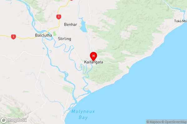
CluthaKaitangata Region Map
Kaitangata Introduction
Kaitangata is a small township located in the Otago region of New Zealand. It is situated on the banks of the Kaitangata River, approximately 20 kilometers south of Dunedin. The township was established in the 1860s and has a population of around 100 people. Kaitangata is known for its scenic surroundings, including the Kaitangata Gorge and the surrounding mountains. The area is popular with outdoor enthusiasts, who enjoy hiking, skiing, and fishing in the nearby rivers and lakes. The township also has a small community hall and a primary school. Kaitangata is surrounded by farmland and has a peaceful, rural atmosphere.Kaitangata Region
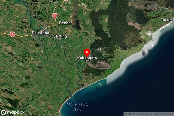
Kaitangata Satellite Map
Full Address
Kaitangata, Clutha, OtagoKaitangata Coordinates
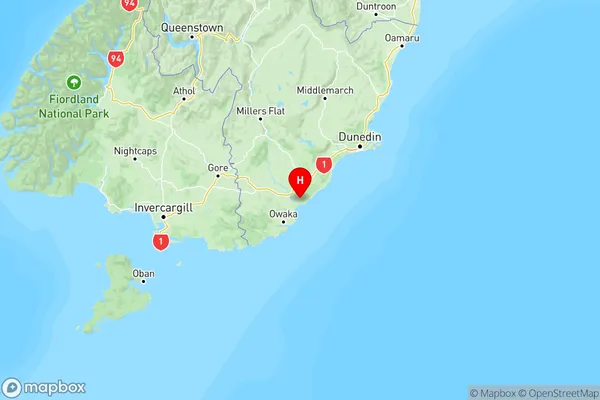
-46.281739,169.846414 (Latitude / Longitude)Kaitangata Map in NZ
NZ Island
South IslandCountry
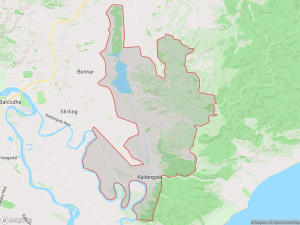
Kaitangata Area Map (Polygon)
Name
KaitangataAdditional Name
Local Authority
Clutha District
Kaitangata Suburbs (Sort by Population)
Kaitangata
Kaitangata - 858Inch Clutha
Inch Clutha - 170Wangaloa
Wangaloa - 38Summer Hill
Summer Hill - 17
Kaitangata Suburbs (Sort in alphabetical)
Wangaloa