Wangaloa Area, Wangaloa Postcode(9282) & Map in Wangaloa
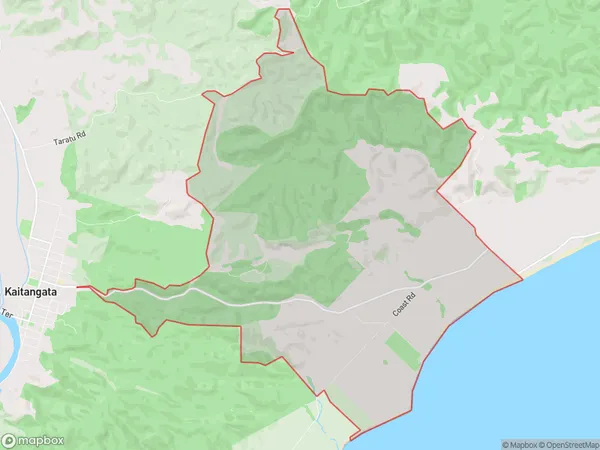
Wangaloa Area, Wangaloa Postcode(9282) & Map in Wangaloa, Clutha District, New Zealand
Wangaloa, Clutha District, New Zealand
Wangaloa Postcodes
Wangaloa Area (estimated)
24.1 square kilometersWangaloa Population (estimated)
38 people live in Wangaloa, Otago, NZWangaloa Suburb Area Map (Polygon)
Wangaloa Introduction
Wangaloa is a small rural community in Kaitangata, Otago, New Zealand. It is located on the banks of the Wangaloa River, 12 km south of Kaitangata and 160 km south of Dunedin. The area was first settled by Māori in the 13th century and was known for its rich forests and fertile soils. Today, the community is a popular tourist destination and home to a number of historic buildings and landmarks.Region
Major City
Suburb Name
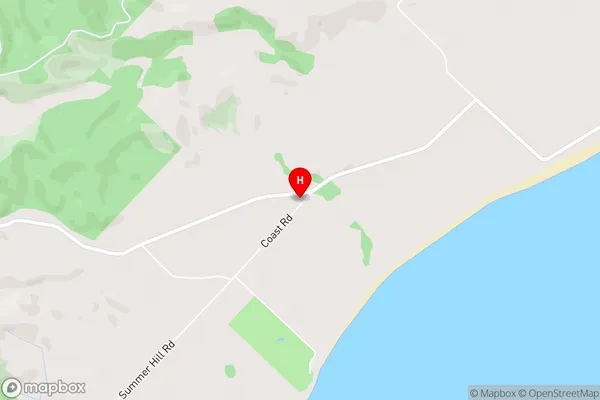
WangaloaWangaloa Area Map (Street)
Local Authority
Clutha DistrictFull Address
Wangaloa, Clutha District, New ZealandAddress Type
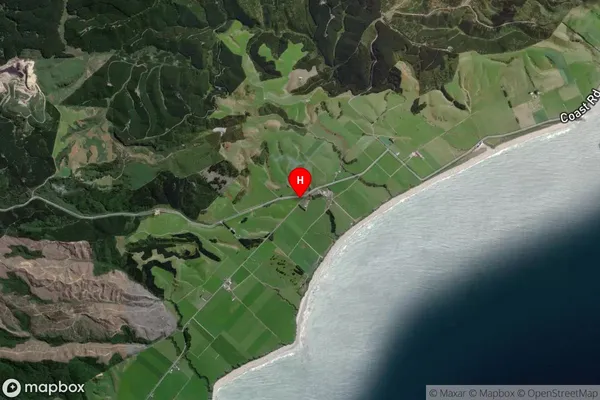
Locality in Town KaitangataWangaloa Suburb Map (Satellite)
Country
Main Region in AU
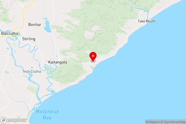
OtagoWangaloa Region Map
Coordinates
-46.2815518,169.9248505 (latitude/longitude)Distances
The distance from Wangaloa, Kaitangata, Clutha District to NZ Top 10 Cities